Issue Date: Sunday, May 15th, 2022
Issue Time: 8:45AM MDT
— Flooding is NOT expected today
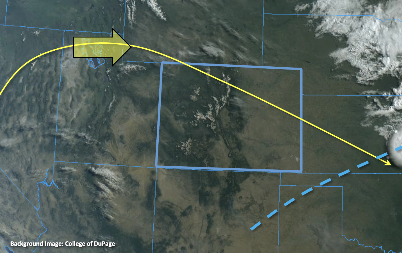
Plenty of sunshine and more heat are forecast to round out this mid-May weekend. Today, the ridge will continue to dominate the weather pattern with the axis sliding east. This will help to produce those warmer temperatures, but also calm the winds. There was a weak cool front that slid through eastern Colorado associated with the departing shortwave from yesterday. Currently, there are some decent northerly wind gusts over the far eastern plains being produced with a second push of this cooler air, but these should begin to settle by late morning. This cool front will help to keep high temperatures only slightly cooler over the northeast portion of the state.
As far as moisture, there was some weak moisture return behind this feature, and PW at Denver and Grand Junction has jumped up to 0.39 inches. This should be just enough moisture help kick off isolated storms over the southern Front Range and Southeast Mountains as well as the elevated Palmer and Raton Ridges as the diurnal upslope flow pattern sets up by this afternoon. Unfortunately, soundings show this moisture in the mid and upper levels. With the dry surface layer remaining intact, there is a better chance for virga and brief outflow winds versus meaningful rainfall accumulation from these storms. So, there is NO flood threat issued. Not all bad news, this slight increase in moisture, paired with less wind, will help to damper the fire danger.
Today’s Flood Threat Map
For more information on today’s flood threat, see the map below. If there is a threat, hover over the threat areas for more details, and click on burn areas to learn more about them. For Zone-Specific forecasts, scroll below the threat map.

Zone-Specific Forecasts:
San Juan Mountains, Front Range, Southeast Mountains, San Luis Valley, Raton Ridge & Palmer Ridge:
High-based, isolated storms will be possible today over the southern Front Range, Southeast Mountains, eastern San Juan Mountains as well as the ridges. More virga than meaningful rainfall is forecast due to the dry surface layer. That means that the storms that do develop may produce some brief outflow winds. Max totals up to 0.15 inches may be possible with most storms producing under 0.05 inches. Flooding is NOT expected.
Primetime: 11AM to 6:30PM
Central Mountains, Northern Mountains, Northwest Slope, Grand Valley, Southwest Slope, Northeast Plains, Southeast Plains & Urban Corridor:
Temperatures will be on the rise with slightly cooler temperatures forecast over the northeast corner. Highs are forecast to reach the upper 80Fs over the lower elevations east and west, and 80Fs are forecast for the SLV, Urban Corridor and Northeast Plains. Mountain valleys should reach into the 70Fs. There is an outside chance that some very isolated, high-based storms develop over the Northwest Slope, but they will likely only produce cloud cover and maybe a few sprinkles.