Issue Date: Saturday, May 14th, 2022
Issue Time: 9:35 AM MDT
Summary:
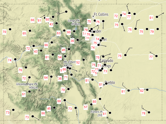
As mentioned in the FTB yesterday, relatively benign zonal flow kept the conditions dry and calm across the state. There is no precipitation to report, and overall temperatures were cooler than it has been recently, as seen in the map below. For Western Colorado, yesterday’s highs were even bit below seasonal normal. It was also the first day without any high wind reports in Colorado since May 7. That’s not to say it wasn’t windy at all, just not as extreme over the past week or so.
Even with the relatively calmer weather, conditions remain especially dry with particularly high fire danger. Grass fires continued to pop up around Colorado Springs, and a fire was also ignited in the mountains near Durango. The High Park Fire in Teller County has continued to grow to now 931 acres and 0% containment
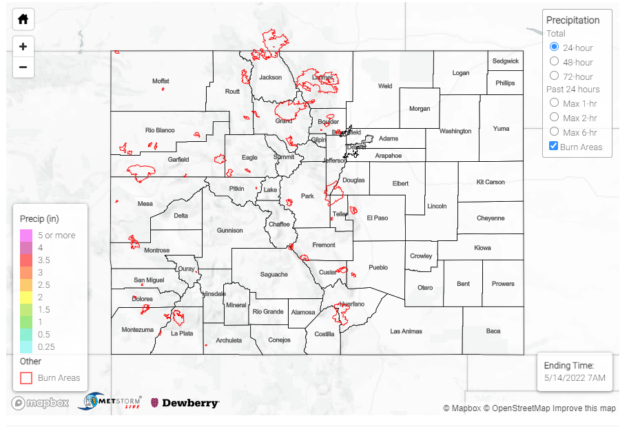
There were no flood reports yesterday. For rainfall estimates in your area, including antecedent conditions, check out the MetStorm Live QPE below.

