Issue Date: Friday, May 13th, 2022
Issue Time: 10:25 AM MDT
Summary:
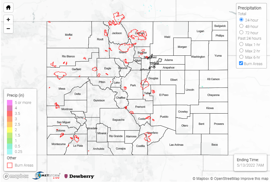
Isolated storms associated with a low in Wyoming dipped just south of the WY-CO border yesterday in the late morning and early afternoon. Unfortunately, just 0.01 inch of precipitation was recorded in Nunn on the Northeast Plains, as well as at a few personal weather stations near the state line – none of which is enough to show up on the precipitation map below.
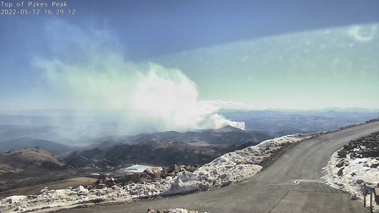
Instead, the pressure system and associated front caused more high winds, so Northern Colorado saw a majority of those reports yesterday including several on the Front Range and Urban Corridor. High winds and dry conditions also allowed for multiple fires to ignite yesterday afternoon. Several fires were in or near Colorado Springs, including the Arturus Fire which caused the Colorado Springs Airport to be evacuated. A bit further west, the High Park fire ignited near Cripple Creek. Smoke from the High Park Fire can be seen in the picture below from the top of Pikes Peak taken yesterday afternoon.
There were no flood reports yesterday. For rainfall estimates in your area, including antecedent moisture over the last 72-hours, check out the MetStorm Live QPE below.

