Issue Date: Thursday, May 12th, 2022
Issue Time: 9:40 AM MDT
Summary:
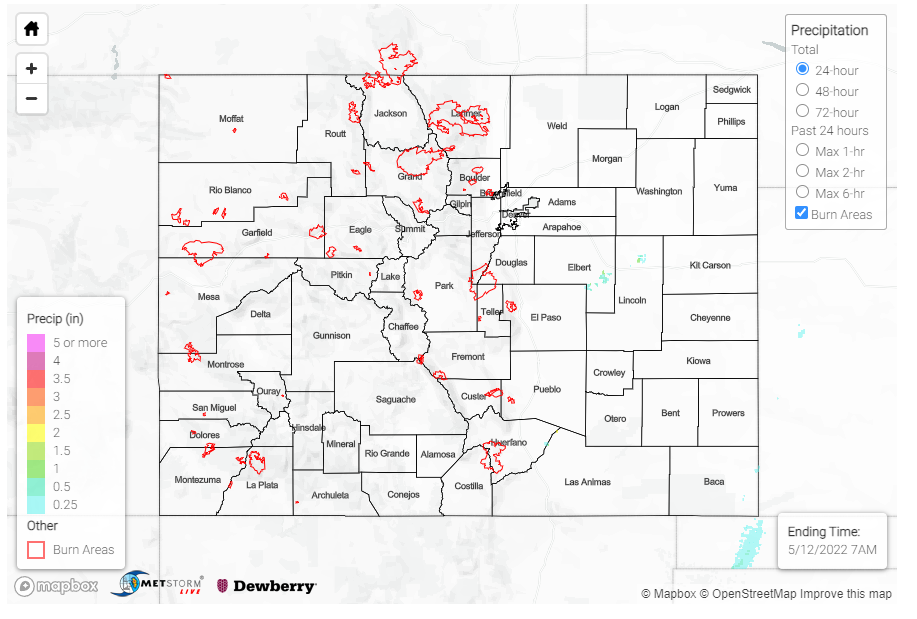
Late afternoon yesterday saw the development of a line of storms along a dryline extending from Western Texas up into Kansas, at the very edge of the CO-KS border. A severe thunderstorm warning was issued for a portion of Baca County, right at the border, after radar indicated the potential for 60-mph winds and quarter-size hail from a thunderstorm cell. An 0.88-inch hail report was made in Stonington, along with a 55-mph thunderstorm wind gust associated with this severe thunderstorm. A nearby MesoWest gauge picked up only 0.04 inches of precipitation however with this cell. As it was mentioned in the FTB yesterday, high steering winds quickly moved storms eastward into Kansas and the lack of moisture limited precipitation totals and flood potential.
For the remainder of the state, relentless wind and heat continues to dominate the weather story. An 89-mph non-thunderstorm wind gust was reported on Douglass Pass, which has seen some exceptionally high gusts lately along with much of the Western Slopes and Grand Valley. In Colorado Springs, a 67-mph gust was recorded along with a report of a 12-inch diameter tree snapping at its base! Colorado Springs also broke their record high temperature yesterday, reaching an unseasonably hot 88 degrees. It was even warmer in Denver, which saw its first 90-degree day of the year, tying the record high for the day. All across Eastern Colorado, temperatures felt more appropriate for summer than mid-May. A wildfire also ignited near Evergreen yesterday, but thankfully it was quickly contained, and evacuations were lifted.
High winds out of the south brought plenty of smoke and haze to Southeastern Colorado from fires burning in New Mexico. The Pueblo WFO shared the following satellite image showing the plume extending from fires near Santa Fe, NM up into Las Animas, Otero, Crowley, and Lincoln Counties. The cumulus field in the Southeast Plains further developed into the severe thunderstorm mentioned earlier.
GOES satellite data indicates a dense smoke plume (from wildfires in central New Mexico) moving into portions of southeast Colorado, along with a cumulus cloud field across the far southeast plains. #cowx pic.twitter.com/4iKLR5kBeU
— NWS Pueblo (@NWSPueblo) May 11, 2022
There were no flood reports yesterday. For rainfall estimates in your area, check out the MetStorm Live QPE below.
