Issue Date: Saturday, May 7th, 2022
Issue Time: 10:10 AM MDT
Summary:
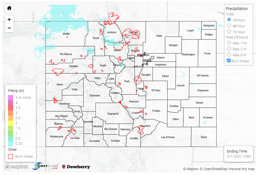
As mentioned in yesterday’s FTB, a ridge of high pressure settling in over the state kept conditions windy and dry yesterday with not much measurable precipitation to report. It was unseasonably warm as well, with high temperatures reaching into the 80s for much of the eastern half of the state and west slopes, and even in the 70s in the mountains. Colorado Springs tied their record high of 83 yesterday – the NWS in Pueblo shared the tweet below with some more information, though the record was not officially broken. One of the hottest places in the state was Granada in the Southeast Plains, which reached a daily high of 91 yesterday!
At 247 pm, the temperature hit 83 degrees in Colorado Springs. This ties the record high temperature of 83F, set on May 6th of 1955, 1934 and 1916. With a few more hours of solar heating, a new record high temperature will be possible in Colorado Springs! #cowx
— NWS Pueblo (@NWSPueblo) May 6, 2022
There were no flood reports yesterday. For rainfall estimates in your area, check out the MetStorm Live QPE below.
