Issue Date: Sunday, August 16th, 2015
Issue Time: 9:00 AM MDT
Summary:
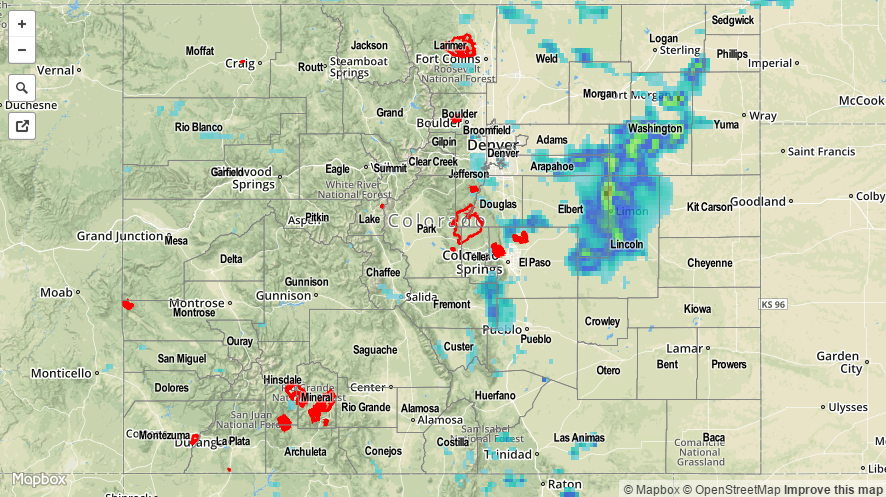
Underneath the upper-level ridge, residual moisture combined with daytime heating to produce scattered showers and thunderstorms. With weak steering winds aloft, storms moved slowly and were able to rain in one location for an extended period of time. CoCoRaHS observers reported the following precipitation totals:
Washington County: 1.10 inches
Lincoln County: 1.02 inches
Jefferson County: 0.89 inches
Clear Creek: 0.79 inches
Chaffee County: 0.59 inches
No flash flooding was reported yesterday, but it is likely that under the heaviest rain street/field ponding occurred. One severe storm report (60 mph thunderstorm wind gust) came in from 7 miles S Limon (Lincoln County). Please check the STP map below for a statewide look at yesterday’s precipitation.