Issue Date: Thursday, May 5th, 2022
Issue Time: 11:20 AM MDT
Summary:
It was finally a portion of Southern Colorado’s turn for a bit of wild weather and accumulating precipitation yesterday – thanks to the quick moving low-pressure system traversing the state, as mentioned in yesterday’s FTB (and Monday’s FTO).
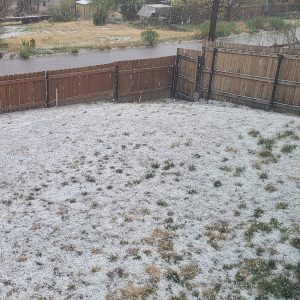
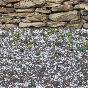
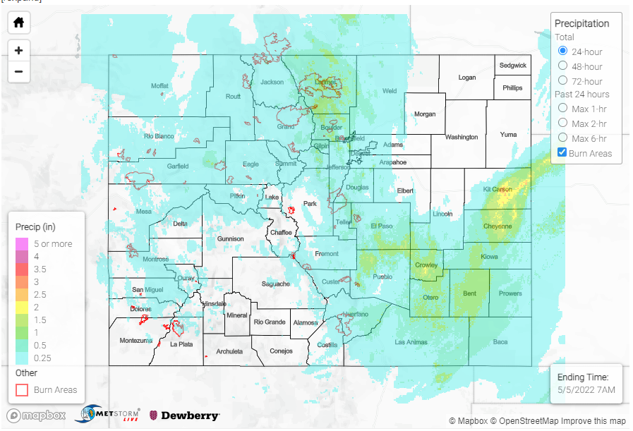
A NWS employee in Pueblo reported heavy rain at 10:30 pm last night, indicating that up to 1.14 inches of rain had fallen so far. CoCoRaHS observations around town confirm this, with up to 1.29 inches of precipitation reported in 24-hours, which included lots of pea-sized to dime-sized hail. A bit further south, a severe thunderstorm warning was issued for a cell northwest of Trinidad for a cell producing 60 mph winds and up to quarter size hail. At my house in Trinidad, we had enough pea-sized hail to accumulate like snow!
Overnight, training heavy rain prompted a flood warning for Kit Carson County in the Northeast Plains, with impacts to I-70 and the towns of Burlington and Bethune. A CoCoRaHS observer reported 1.37 inches of precipitation in Burlington, with similar totals from a few more observers in town. The flood warning was able to expire this morning, with no known flood reports so far. If you happened to observe flooding in this area, or elsewhere, remember to use our “Report a Flood” tool.
Elsewhere in the state, it was another day of good soaking rain for the Urban Corridor and snow for the Front Range, Northern, and Central Mountains. Traffic cams on I-70 show snowy conditions this morning and CDOT is reporting many icy and snowpacked roads. Out west, there were only modest precipitation totals on the Western Slopes and in the Grand Valley, since the low had moved eastward early in the morning.
There were no flood reports yesterday. For rainfall estimates in your area, check out the MetStorm Live QPE below.


