Issue Date: Monday, May 2nd, 2022
Issue Time: 9:25AM MDT
— Flooding is NOT expected today
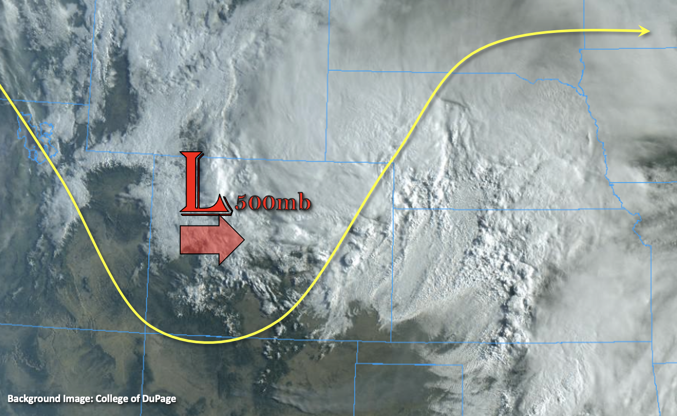
Woke up to rain in Denver this morning, which was a nice change of pace after such a dry April. The upper-level trough from yesterday, that is causing this lift and rainfall, can be seen in the visible satellite image below. As this feature advances east throughout the day, it is expected to continue to produce widespread showers over the northeast quadrant of the state. Rainfall should begin to diminish from west to east, with the movement of the trough, and rainfall is expected to end by this evening. Weak upslope flow behind the departing trough will also help create some precipitation over the Northern Mountains and Front Range later this afternoon, but accumulation should be on the lighter end.
Quite a few missing factors for heavy rainfall production today, so there is NO flood threat issued. However, it’s looking like another good soaking for portions of the far Northeast Plains. Lesser amounts of measurable precipitation are forecast for the Urban Corridor and northern Palmer Ridge, as well as over the Front Range. Elsewhere, partly cloudy to clear skies are forecast with must cooler temperatures over eastern Colorado.
Today’s Flood Threat Map
For more information on today’s flood threat, see the map below. If there is a threat, hover over the threat areas for more details, and click on burn areas to learn more about them. For Zone-Specific forecasts, scroll below the threat map.
Zone-Specific Forecasts:
Northeast Plains, Southeast Plains & Raton Ridge:
Rainfall continues over the Northeast Plains this morning and is forecast through late afternoon/early evening. Precipitation will likely fill in over the very northern Southeast Plains near the Kansas border. Isolated max 1-hour rain rates up to 0.60 inches with widespread storm totals just over 1 inch are possible. Although it was a good soaking yesterday, it’s doubtful that soils are saturated. Outside of some minor ponding, flooding is NOT expected today. Clearing behind the trough will bring chilly temperatures to the Southeast Plains & Raton Ridge tonight, and a Freeze Watch has been issued by NWS Pueblo.
Primetime: Ongoing to 7:30PM
Northern Mountains, Front Range, Palmer Ridge & Urban Corridor:
Some light precipitation is falling over the high terrains this morning. Weak upslope flow behind the trough should help to produce some more light precipitation this afternoon focused mainly over the Front Range with snow for the highest elevations. While some precipitation may spill into the immediate adjacent plains, it isn’t expected to push into the Urban Corridor much. Precipitation totals up to 0.30 inches will be possible, but flooding is NOT expected.
Primetime: Ongoing to 6PM
Southeast Mountains, Central Mountains, San Luis Valley, San Juan Mountains, Grand Valley, Northwest Slope & Southwest Slope:
Broken cloud cover is expected over the northern/central mountains today with clearer conditions south. Outside of some light rainfall this morning, accumulation should be limited to the highest terrains near the Continental Divide. High cloud cover will move in from the west tonight as the next, quick-moving system approaches from the west. Flooding is NOT expected today.
Primetime: Ongoing to 5PM