Issue Date: Sunday, September 19th, 2021
Issue Time: 9:15AM MDT
— Flooding is NOT expected today
There are still some ongoing scattered, light showers over the southeast corner of the state that are associated with some upper-level lift in the area, continuing from yesterday. Expect these showers to linger as they move eastward throughout the morning, and perhaps increase somewhat in intensity, but not area, by mid-afternoon over the southeast border counties. For today, windy conditions are expected to continue over the mountains with the tightening pressure gradient from the incoming trough, marked below. Not much residual moisture behind the departing upper trough from yesterday, so only scattered storms over the mountains (central/south) are forecast this afternoon. A Red Flag Warning has been issued for the southern I-25 corridor, just east of the Southeast Mountains, where wind gusts could reach 35mph. Use caution with any activity that could spark a flame.
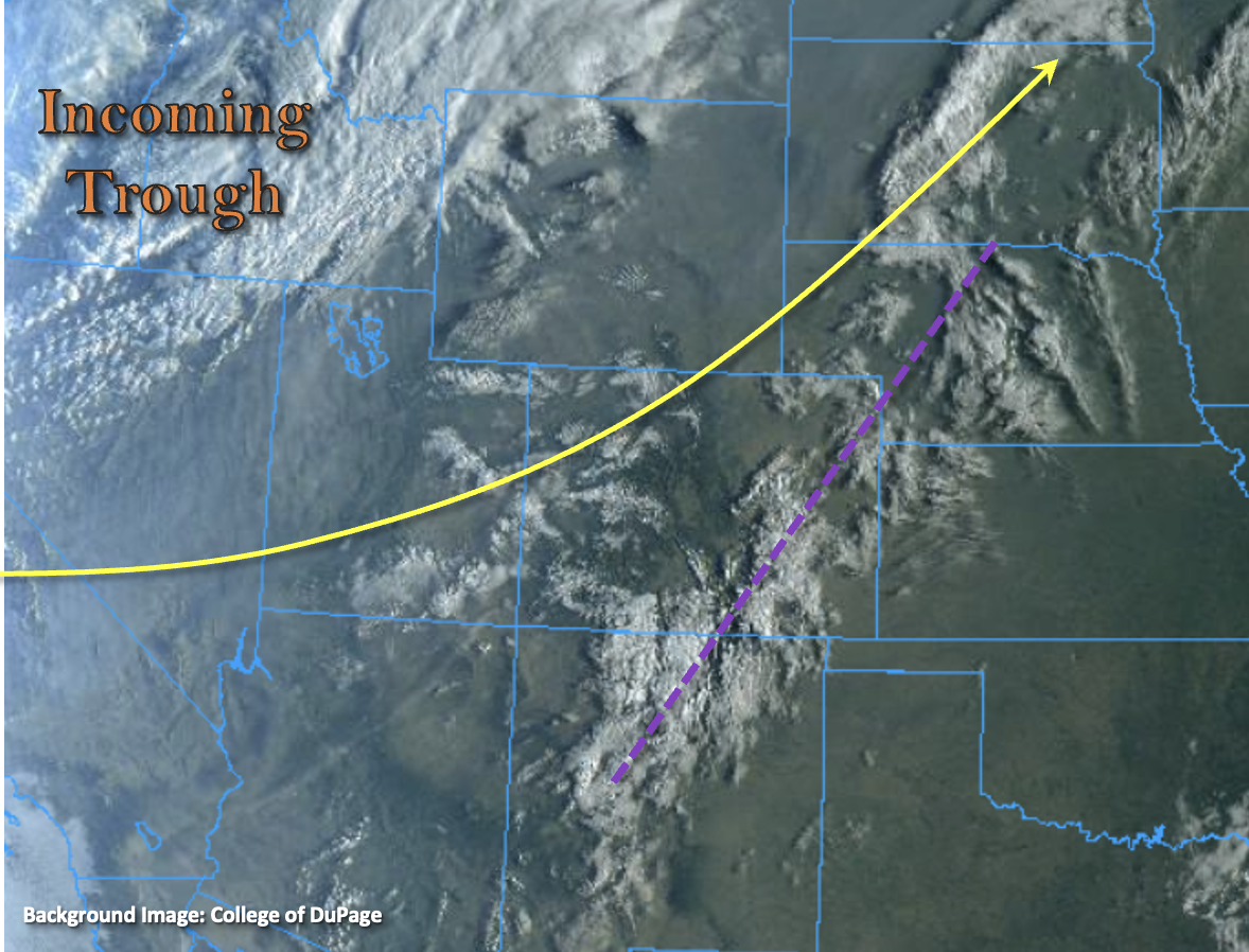
Cloud cover from a vigorous incoming trough can also be seen to our west in the visible satellite imagery below, which is expected to bring much cooler temperatures to the state beginning tonight behind a strong cold front. Afternoon high temperatures tomorrow are expected to be as much as 20F cooler than today. The leading edge of the front is forecast to reach the Northwest Slope by this evening, and there’s the potential for some weak thunderstorms to form along it over this area. With decreasing stability into the overnight hours and fast steering flows, storms that are able to develop and maintain themselves over the northern mountains should not pose a flood threat. Especially with rain turning to snow over the higher elevations overnight. Also, expect gusty winds along the front as it arrives and over the eastern plains during the overnight hours as it drops south. Flooding is NOT expected today.
Today’s Flood Threat Map
For more information on today’s flood threat, see the map below. If there is a threat, hover over the threat areas for more details, and click on burn areas to learn more about them. For Zone-Specific forecasts, scroll below the threat map.
Zone-Specific Forecasts:
Northwest Slope, Northern Mountains, Front Range & Central Mountains:
A Freeze Watch has been issued for portions of the Northwest Slope and Northern Mountains tonight (Central Yama and Central Colorado River Basins) where temperatures may drop into the upper 20Fs to near 30F behind the incoming cold front. As the front arrives to the northwest corner this evening, residual moisture may help produce some thunderstorm activity along it. Max 1-hour rain rates up to 0.60 inches are possible with most totals remaining under 0.50 inches (northwest corner). A couple showers may continue into the overnight hours with a couple inches of snow possible over the highest elevations by morning. Up to 0.50 inches of precipitation may be possible over the northern Front Range with most precipitation falling as snow above 8,500 feet early tomorrow morning. In addition to snow and rainfall, some strong wind gusts (up to 45 mph) are expected along the front. Due to the lower rain rates and more gradual nature of accumulation this evening over the mountains, along with the transition to snow, flooding is NOT expected.
Primetime: 1PM to ongoing
Grand Valley, San Juan Mountains, San Luis Valley, Southeast Mountains & Southwest Slope:
A bit of residual moisture could spark some afternoon scattered, weak thunderstorms over the mountains and elevated terrains. Highest accumulations are anticipated over the San Juan Mountains with only light accumulations forecast over the Grand Valley (higher elevations) and Southeast Mountains. Isolated max 1-hour rain rates up to 0.50 inches will be possible with most totals remaining under 0.30 inches, so flooding is NOT forecast.
Primetime: 11AM to 8PM
Northeast Plains, Southeast Plains, Urban Corridor, Raton Ridge & Palmer Ridge:
It should remain dry over these areas today with the exception of some weak storms possible over Baca/Prowers County this afternoon. Downsloping winds will help keep afternoon high temperatures in the upper 80Fs and 90Fs again. Overnight, some gusty winds (up to 35 to 45 mph) will be possible as the cold front slides south. Precipitation is not anticipated along the front as moisture looks to be lacking from this next system. Therefore, flooding is NOT forecast.