Issue Date: Thursday, September 9th, 2021
Issue Time: 8:10AM MDT
— Flooding is NOT expected today
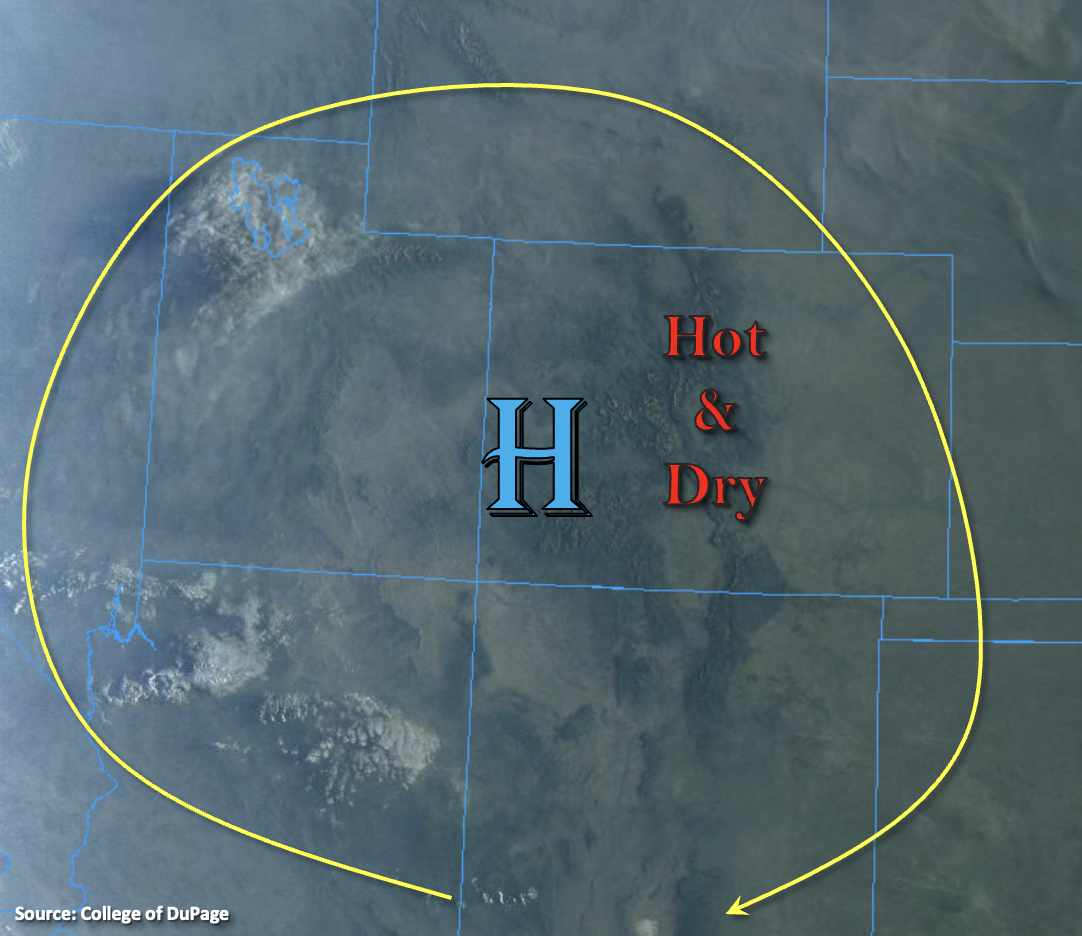
It’s going to be another hot and dry day statewide. High temperatures will be on the rise with the strengthening ridge overhead. Highs for the lower elevations over eastern Colorado will reach into the mid-90Fs (north) to upper 90Fs (south). Low to mid-90Fs are forecast across the lower elevations of western Colorado, and finally, mountain valleys will reach the upper-70Fs to mid-80Fs. Near surface smoke this morning continues to be thick over the Northern/Central Mountains, Northwest Slope and Grand Valley. This should mix out throughout the day, and expect an increasing near surface smoke forecast over the I-25 Corridor and adjacent eastern plains by mid-afternoon. With PW measured around 0.35 inches at both Grand Junction and Denver, and stable conditions statewide with the High moving into the Four Corners region, rainfall is not forecast today.
Today’s Flood Threat Map
For more information on today’s flood threat, see the map below. If there is a threat, hover over the threat areas for more details, and click on burn areas to learn more about them. For Zone-Specific forecasts, scroll below the threat map.
Zone-Specific Forecasts:
Southeast Mountains, Front Range, Southeast Plains, Northeast Plains, Raton Ridge, Urban Corridor & Palmer Ridge:
Clear start to the day, and it’s going to be a hot one with daily records likely broken both today and tomorrow. Highs will reach the upper 90Fs over the eastern plains with mid to upper 90Fs over the Urban Corridor. It’s going to get smoky throughout the day over these lower elevation forecast regions with smoke mixing out over the mountains. Highs over the Front Range and Southeast Mountains will reach into the 80Fs. Rainfall is not forecast.
San Juan Mountains, Central Mountains, Northern Mountains, Southwest Slope, San Luis Valley, Grand Valley & Northwest Slope:
Thick near surface smoke this morning will begin to mix out and move east throughout the day. So, expect conditions to clear a bit by mid-afternoon, and hopefully you’ll see some blue skies. Highs will reach into the mid 90Fs over the Grand Valley with 90Fs for other lower elevation valleys. Mountain valleys will reach into the upper 80Fs. It will be too dry and stable for any rainfall, so flooding is not expected.