Issue Date: Wednesday, September 8th, 2021
Issue Time: 8:15AM MDT
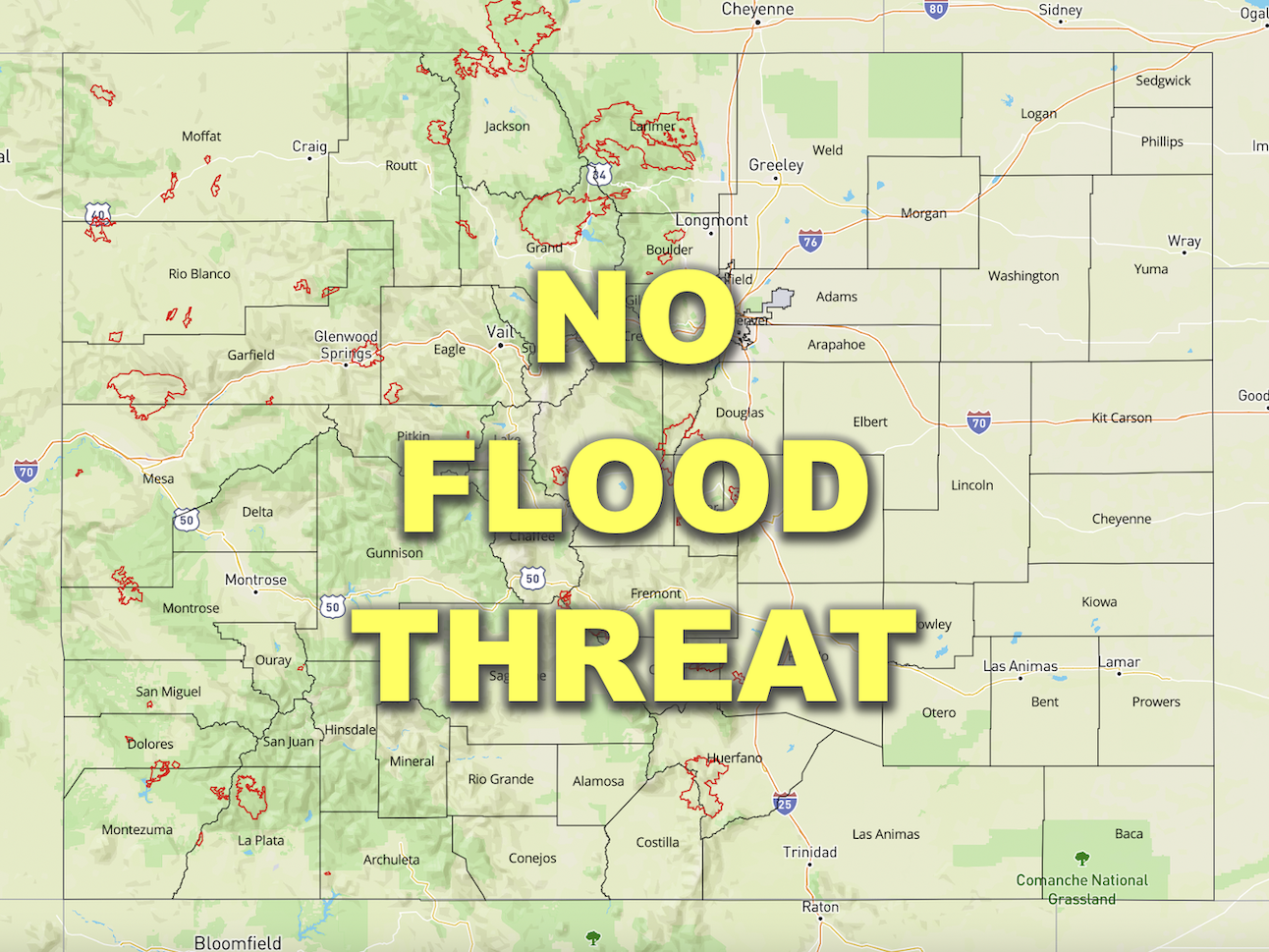
— Flooding is NOT expected today
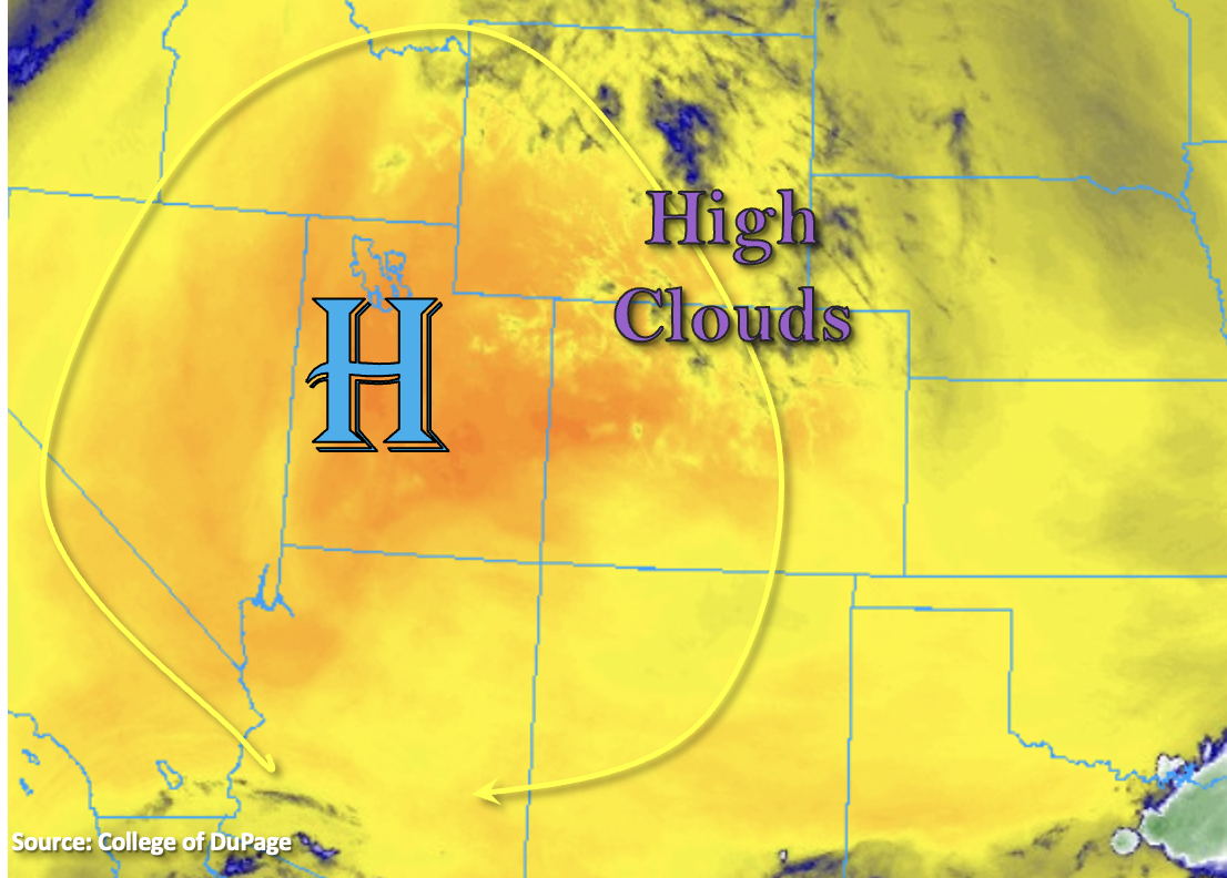
No large changes in the overall pattern as Colorado continues to be under the influence of the High to our west. There are a few high clouds this morning over the northern portion of the state, but they’re likely hard to see with all the smoke over the area. Most of western Colorado and the Front Range/Urban Corridor are under an Air Quality Alert for this wildfire smoke and/or high ozone concentration. Expect the smoky conditions to continue with the thickest near-surface smoke today over the north/central mountains, Grand Valley and Northwest Slope. As far as rainfall, sinking motion and the general lack of moisture with the dry air overhead mean another day without any rainfall statewide. Just how dry is it? PW at Grand Junction has dropped to 0.24 inches, which ties the daily minimum record. As predicted, flooding is not forecast.

Today’s Flood Threat Map
For more information on today’s flood threat, see the map below. If there is a threat, hover over the threat areas for more details, and click on burn areas to learn more about them. For Zone-Specific forecasts, scroll below the threat map.
Zone-Specific Forecasts:
Southeast Mountains, Front Range, Southeast Plains, Northeast Plains, Raton Ridge, Urban Corridor & Palmer Ridge:
Cooler start to the morning with a little high cloud cover over the Front Range and Urban Corridor. It’s also very smoky outside, and there are still high ozone concentrations, too. An Air Quality Alert has been issued for the Front Range, Urban Corridor and Palmer Ridge for these reasons. Temperatures will likely get a couple degrees warmer this afternoon with 90Fs further south and upper 80Fs north/central across the lower elevations. Rainfall is not forecast today.
San Juan Mountains, Central Mountains, Northern Mountains, Southwest Slope, San Luis Valley, Grand Valley & Northwest Slope:
Expect thick near surface smoke today across nearly all forecast zones. A little better visibility will be likely across the southern border over the Southwest Slope, San Luis Valley and San Juan Mountains. An Air Quality Alert has been issued, and if visibility from the smoke is under 5 miles, it has reach unhealthy levels to be outside. Highs will reach into the low to mid-90Fs across the lower elevations with mountain valleys in the 80Fs. Rainfall is not forecast today.