Issue Date: Tuesday, August 24th, 2021
Issue Time: 8:55AM MDT
— Flooding is NOT expected today
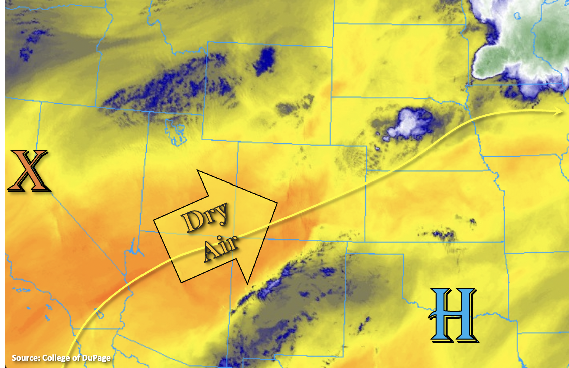
Southwest flow aloft will continue today as the ridge builds northward across the state, which means another day of hot temperatures. This southwest flow and westerly/southwesterly surface winds have started to and will continue to pull in a very dry air mass over the state. An eastward moving surface Low over Kansas should help to scour out any remaining moisture over the plains. With PW dropping to below 0.50 inches and as low as 0.30 inches (west), measurable rainfall chances are near zero today. That means that flooding is not expected. There will likely be a little cloud cover this afternoon over the northeast quadrant of the state and Southeast Plains with the residual moisture and some mid-level energy, but measurable rainfall is not forecast. Lastly, there is a passing trough to our north, which is expected to tighten the surface gradient and produce breezy conditions over the Northwest Slope and portions of the central/northern mountains. A Red Flag Warning has been issued for Moffat County and portions of Rio Blanco County.
Today’s Flood Threat Map
For more information on today’s flood threat, see the map below. If there is a threat, hover over the threat areas for more details, and click on burn areas to learn more about them. For Zone-Specific forecasts, scroll below the threat map.

Zone-Specific Forecasts:
Southeast Mountains, Front Range, San Luis Valley, Raton Ridge, Palmer Ridge, Southeast Plains, Northeast Plains & Urban Corridor:
Today’s high temperatures are forecast to be in the upper 90Fs (east) and low to mid-90Fs (Urban Corridor). Portions of the Southeast Plains could reach the century mark. For the mountain valleys, temperatures in the 80Fs are forecast. It will be breezy in the mountains this afternoon and possibly further south over the adjacent plains. Too dry for any rainfall, but some fair weather clouds could develop with residual moisture (north and east). Flooding is NOT forecast.
San Juan Mountains, Southwest Slope, Central Mountains, Grand Valley, Northwest Slope & Northern Mountains:
Still hot, but not as hot as it has been this summer. Upper 80Fs and up to 90F are forecast for the lower elevations, and mountain valleys should reach into the upper 70Fs to low 80Fs. Rainfall is not forecast today, so there is NO flood threat issued. A Red Flag Warning is in affect for portions of the Southwest Slope where southwest winds are forecast in the 10 to 20 mph range with gusts up to 30 mph. Be sure to use caution with any activity that could cause a spark.