Issue Date: 8/9/2015
Issue Time: 8:55AM
Summary:
An intensifying upper-level ridge was detrimental to thunderstorm formation on Saturday. Quite a few storms were observed, ranging from the Grand Valley to the higher terrain of the Central Mountains all the way into the Southeast Plains. But an individual storm was generally only able to maintain strength for 30 minutes or less. Some of the more impressive afternoon storms produced 1 hour rainfall around 1.5 inches in the far southeast corner of the state. Meanwhile, a few additional storms redeveloped into the late evening in a broken line from the Denver Metro area eastward over the Northeast Plains. These produced up to 1.25 inches of rainfall, most of which fell in less than 1 hour.
Although the wind shear (the difference in wind speed at two different layers of the atmosphere) was lower on Saturday, compared to Friday, one storm in Kit Carson County managed to produce hail up to 1.75 inches. In that same region near the Kansas border, many other storms produced hail from 0.5 to 1.0 inch in diameter prompting a handful or so Severe Thunderstorm Warnings from the National Weather Service.
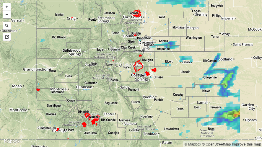
For an estimate of 24-hour rainfall that occurred in your area, please check out our radar based map below. Caution: radar-estimated rainfall can be strongly overpredicted in regions where hail falls.