Issue Date: Sunday, August 8th, 2021
Issue Time: 7:15AM MDT
— Flooding is NOT expected today
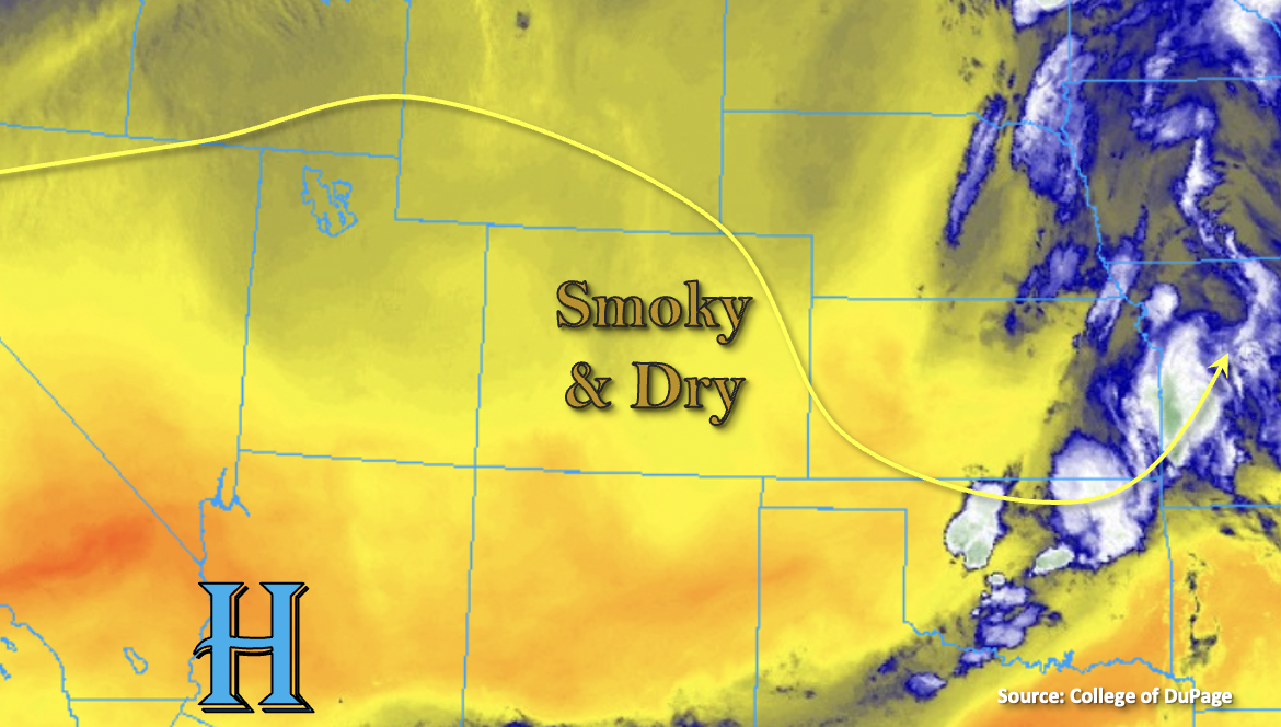
Dry air and subsidence have filled in behind the departing trough. With the High to our southwest and westerly flow aloft today, moisture availability will continue to be meager. This is shown by the yellow shades below and PW at Grand Junction being measured at 0.55 inches and 0.54 inches over Denver. Outside of a couple stray and very weak showers possible over the Front Range, all that is forecast today are some fair weather cumulus clouds. Even with the cool start to the morning across the bulk of Colorado, high temperatures today will bump from yesterday and run 5 to 8F above normal. Flooding is NOT forecast.
Despite a little relief from the near surface smoke today for many locations, a second wave of smoke is forecast to arrive to western Colorado by late afternoon into the evening hours. It is likely that the Air Quality Alert will be re-issued for portions of Colorado later this morning, so be sure to stay tuned into your local NWS office for the latest. Also, anticipate the wildfire smoke to hang around over the next few days.
Today’s Flood Threat Map
For more information on today’s flood threat, see the map below. If there is a threat, hover over the threat areas for more details, and click on burn areas to learn more about them. For Zone-Specific forecasts, scroll below the threat map.

Zone-Specific Forecasts:
Northeast Plains, Raton Ridge, Palmer Ridge, Southeast Plains, Southeast Mountains, San Juan Mountains, Front Range & Urban Corridor:
A couple stray, weak showers are possible over the mountains this afternoon and evening, but it’s likely they would only produce some light sprinkles. The increase in afternoon and evening cloud cover over the eastern mountains and adjacent plains will help to cool it off a little bit. High temperatures are forecast in the low to mid-90Fs across the lower elevations with 80Fs for the mountains. Heavier near surface smoke is forecast over the Southeast Plains with clearing of the near surface smoke elsewhere. Flooding is NOT forecast.
Grand Valley, Southeast Mountains, San Juan Mountains, San Luis Valley, Northwest Slope, Northern Mountains, Central Mountains & Southwest Slope:
Gradual clearing of the near surface smoke is forecast by this afternoon except over the southwest corner of the state and likely the San Luis Valley. This will be short-lived as another smoke plume arrives this evening. As far as rainfall, only expecting some fair weather cumulus this afternoon over portions of the southern mountains with clear conditions elsewhere. Flooding is NOT forecast. High temperatures are forecast to reach the mid-90Fs for the lower elevation valleys and 80Fs for the mountain valleys.