Issue Date: Thursday, August 5th, 2021
Issue Time: 8:30AM MDT
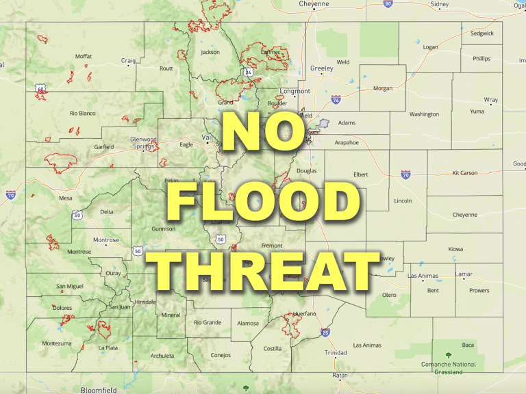
— Flooding is NOT expected today
The prolonged plume of very moist monsoonal air has abruptly moved east out of Colorado over the past 24 hours. Precipitation Water has collapsed in its wake, from 1.15 to 0.61 inches at Denver, and from 0.77 to 0.49 inches at Grand Junction. This is the lowest PW at Grand Junction since July 10th, a remarkably long stretch! And similarly, after 20 consecutive days with a flood threat, flooding is NOT expected today.
Taking a look at the visible satellite image, below, the upper-level ridge is located over western Arizona, with very hot conditions over western Colorado and areas further south and west. A disturbance is currently entering the northern California coast. With a tightening pressure gradient to its east, this disturbance is supporting quite a push of concentrated smoke from the CA wildfires to the northeast. Additional wildfires are ongoing over southwest Canada, combining with the CA smoke plume and resulting in some of the most concentrated smoke particle transport into CO thus far this season. Fortunately, the morning smoky skies should improve a bit later this afternoon as winds aloft turn more westerly.
In terms of rainfall potential today, with limited PW, almost the entire state is expected to stay dry. There are two exceptions. First, in the San Juan Mountains, plenty of morning sunshine will cause some weak instability this afternoon, fueling scattered showers and weak storms. Second, over the northern Front Range and Urban Corridor, isolated showers and weak storms are possible as a weak disturbances races across the area. However, rain rates are expected to stay well below flood thresholds in both places.
Today’s Flood Threat Map
For more information on today’s flood threat, see the map below. If there is a threat, hover over the threat areas for more details, and click on burn areas to learn more about them. For Zone-Specific forecasts, scroll below the threat map.
Zone-Specific Forecasts:
San Juan Mountains, San Luis Valley and Southwest Slope:
Widely scattered showers and weak thunderstorms possible this afternoon, mainly over the higher terrain above 9,000 feet. Max 1-hour rainfall up to 0.5 inches. Flooding is NOT expected today.
Primetime: 2PM through 9PM
Northwest Slope, Grand Valley, Central Mountains, Northern Mountains, Palmer Ridge, Raton Ridge, Southeast Plains, Front Range, Urban Corridor and Northeast Plains:
Smoky, mainly dry and seasonably warm today. An isolated shower or weak thunderstorm cannot be ruled out over the northern Front Range and Urban Corridor. However, the main impact from these storms will be gusty winds, with only up to 0.3 inches of rainfall expected.
Primetime: 4PM through 8PM

