Issue Date: Thursday, June 3, 2021
Issue Time: 9:00 am MDT
Summary
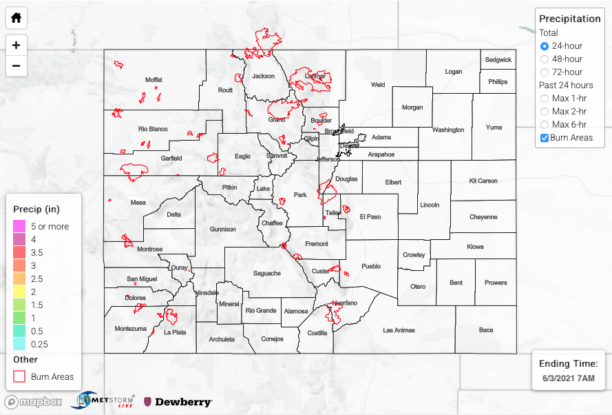
High pressure settled in west of the state yesterday, which brought warm temperatures and limited precipitation. There were some isolated evening storms in the San Juan Mountains, San Luis Valley, and Southeast Mountains, but they produced very little rainfall. There were no severe weather reports in Colorado yesterday. For rainfall estimates in your area, check out the State Precipitation Map at the bottom of this post.
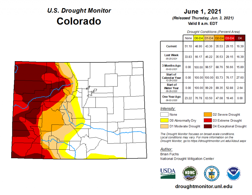
The updated U.S. Drought Monitor was published this morning, reflective of conditions up until June 1, 2021, as seen in the map below. There is an impressive divide in drought conditions between the eastern and western halves of the state. Drought conditions continued to improve in Eastern Colorado, where over 51% of the state is experiencing no drought conditions at all. This is in sharp contrast to the west, where there are still large areas of extreme to exceptional drought in the Northwest and Southwest Slopes and Grand Valley.
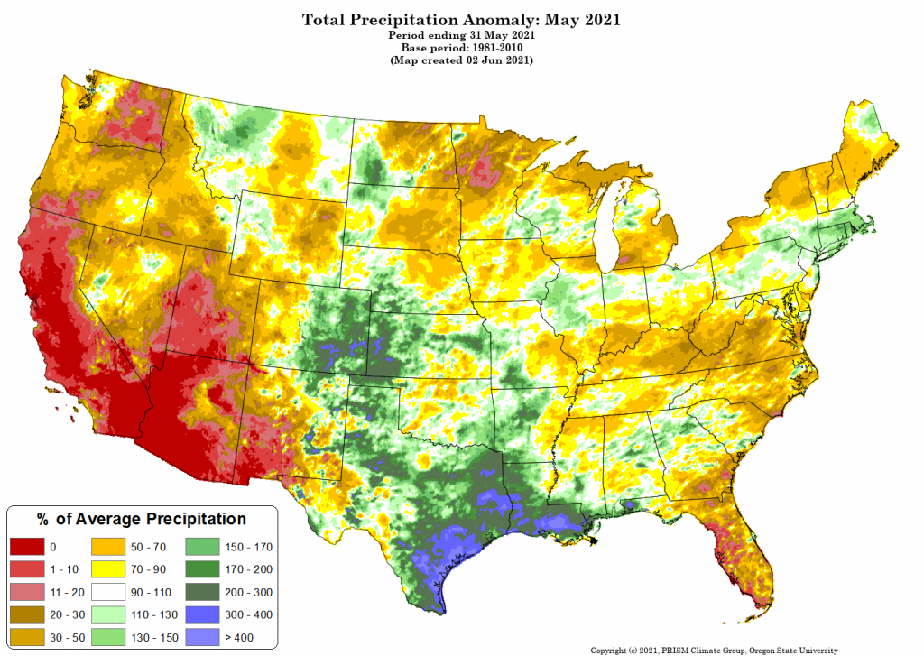
The drastic differences between east and west of the divide is no surprise considering the very different spring weather each has been experiencing. The map below from PRISM shows the total precipitation anomaly for May 2021 compared to 1981-2010 May climate normals. Eastern Colorado, especially the southeast, received well above normal precipitation for this time of year, including some portions that received over 300% of normal precipitation! Compare this to Western Colorado, where some places received only 30-50% of normal May rain.
Click Here For Map Overview
