Issue Date: Wednesday, June 2, 2021
Issue Time: 9:00AM MDT
— Flooding is NOT expected today
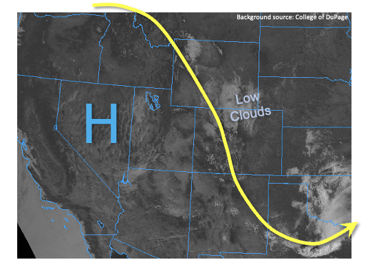
The atmosphere above Colorado remains in somewhat of a holding pattern today. A very strong ridge, causing record high temperatures west of us, is strengthening but will still remain too far west to completely shut down storm activity. Meanwhile, moisture, as measured by PW, remains unimpressive but enough to cause isolated to scattered storm activity. PW at Grand Junction and Denver measured 0.51 and 0.48 inches, respectively, which is fairly close to seasonal normal for early June in Grand Junction and a bit drier than normal at Denver. Compared to yesterday, today will see (1) little to no organized disturbance overhead, (2) warmer mid-level temperatures by 2-4F, (3) less instability and (4) reduced shear. Overall, we expect a reduction in precipitation coverage, along with a reduced chance of severe weather. However, we still expect to see scattered showers and thunderstorms developing mainly over the higher terrain early this afternoon and this evening. Storms will have a hard time forming at lower elevations today, compared to yesterday. Short pulses of moderate to perhaps briefly heavy rainfall will be possible, but flooding is NOT expected today.
Today’s Flood Threat Map
For more information on today’s flood threat, see the map below. If there is a threat, hover over the threat areas for more details, and click on burn areas to learn more about them. For Zone-Specific forecasts, scroll below the threat map.

Zone-Specific Forecasts:
Front Range, Northern Mountains, Central Mountains, San Juan Mountains and Southeast Mountains:
Warmer with scattered showers and weak thunderstorms developing early afternoon and persisting into the early evening hours. Max 1-hour rainfall up to 0.5 inches (north) and 0.7 inches (south, especially along NM border) possible, along with some small hail in stronger storms. Flooding is NOT expected today.
Primetime: 12PM through 8PM
Northeast Plains, Southeast Plains, Palmer Ridge, Raton Ridge, Urban Corridor, San Luis Valley, Grand Valley, Southwest Slope and Northwest Slope:
Warmer and mostly sunny with an isolated shower or perhaps weak storm possible this afternoon and evening. Max 1-hour rainfall up to 0.5 inches. Flooding is NOT expected today.
Primetime: 1PM through 7PM