Issue Date: Friday, May 28th, 2021
Issue Time: 8:00AM MDT
— Flooding is NOT expected today
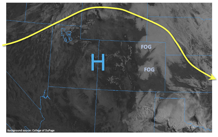
With a transient ridge overhead, central and western Colorado awoke to mostly sunny skies. Farther east, with a moist boundary layer, efficient radiational cooling led to a few pockets of fog and low clouds in the Arkansas and South Platte river valleys (see visible satellite image below). With the strong May sunshine and subsidence overhead, this will quickly dissipate leading to a seasonable warm, mostly sunny day for almost everyone. Denver PW this morning was at 0.38 inches, while Grand Junction was at 0.31 inches, both below seasonal normal. However, with Colorado’s impressive topographic-driven summer circulation, there will still be enough moisture present to produce isolated to widely scattered showers and thunderstorms today mainly over the Palmer and Raton ridges. Maximum rainfall intensity will stay below flood threat thresholds. However, a stronger storm capable of marginally large hail could occur right along the New Mexico border east of I-25. Flooding is NOT expected today.
Today’s Flood Threat Map
For more information on today’s flood threat, see the map below. If there is a threat, hover over the threat areas for more details, and click on burn areas to learn more about them. For Zone-Specific forecasts, scroll below the threat map.
Zone-Specific Forecasts:
Palmer Ridge, Raton Ridge, Northeast Plains, Southeast Plains
Isolated to widely scattered showers and thunderstorms this afternoon, otherwise partly cloudy and warmer. Max 1-hour rainfall up to 0.4 inches over the Palmer Ridge and 0.8 inches over the Raton Ridge right along the NM border. Hail up to 1 inch is also possible along the NM border. Flooding is NOT expected today.
Primetime: 2PM through 9PM
Front Range, Urban Corridor, Southeast Mountains:
Becoming partly cloudy and warmer with an isolated shower or weak storm possible this afternoon. Max 1-hour rainfall up to 0.2 inches. Flooding is NOT expected today.
Primetime: 1PM through 7PM
Grand Valley, Southwest Slope, San Luis Valley, San Juan Mountains, Central Mountains, Northern Mountains and Northwest Slope:
Mostly sunny and warmer temperatures today with highs in the mid 80s F in the lower elevations and in the 50s F for the highest terrain. Flooding is NOT expected today.