Issue Date: Tuesday, May 25th, 2021
Issue Time: 8:50AM MDT
— Flooding is NOT expected today
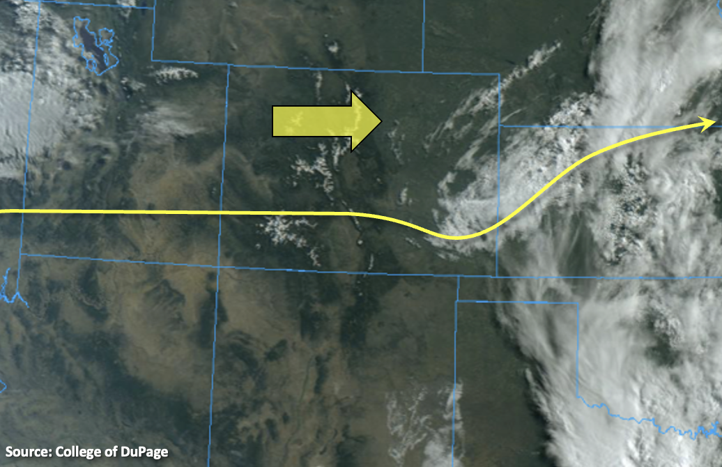
Lingering cloud cover and a little fog remains over the far eastern plains from the storms that fired last night. The surface Low from yesterday is currently located over the southeast corner of the state and is forecast to move eastward throughout the day. As it exits, a few light showers may be possible on its north side over the plains. The exiting Low combined with dry, westerly flow aloft means that remaining moisture over the eastern portion of the state is forecast to decrease throughout the day. With PW values measured at 0.35 and 0.31 at Denver and Grand Junction, respectively, measurable rainfall is not forecast today. A couple sprinkles may be possible over the southern Front Range/Palmer Ridge this evening, but with high-cloud bases, the more likely scenario is virga. Flooding is not forecast.
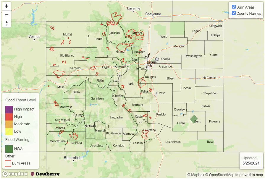
Today’s Flood Threat Map
For more information on today’s flood threat, see the map below. If there is a threat, hover over the threat areas for more details, and click on burn areas to learn more about them. For Zone-Specific forecasts, scroll below the threat map.
A NWS Flood Warning has been issued for the Purgatoire River near Las Animas through Wednesday afternoon. The river is forecast to crest at 9 feet, which is in the Minor flood stage.
Zone-Specific Forecasts:
Raton Ridge, Front Range, Southeast Mountains, Urban Corridor, Southeast Plains, Northeast Plains & Palmer Ridge:
High temperatures across the lower elevations should increase into the mid-70Fs with low 80Fs over the Southeast Plains. Mountain locations should reach the mid-60Fs. Scattered cloud cover will likely develop over the mountains and Palmer Ridge this afternoon. Best chance for a sprinkle or two will be across the southern Front Range and Palmer Ridge, but the more likely scenario is virga. Flooding is not forecast. Cloud cover begins to fill in overnight as the next trough approaches, so expect overcast conditions in the morning.
San Juan Mountains, San Luis Valley, Central Mountains, Northern Mountains, Northwest Slope, Grand Valley & Southwest Slope:
Warming up today with mid-70Fs to 80Fs for the valley locations. Over the mountain valleys upper 60Fs to low 70Fs are forecast. Rainfall is not forecast today, and blue skies should be plentiful. By this evening mid and upper level cloud cover should move over the western portion of the state as the next trough approaches, so except less sunshine tomorrow morning.