Issue Date: Thursday, May 13th, 2021
Issue Time: 9:10AM MDT
— Flooding is NOT expected today
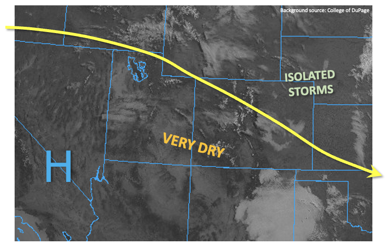
Calmer weather and warmer temperatures will continue across most of Colorado for today, as light subsidence will continue to the east of a weak upper-level ridge over the Four Corners area. With plenty of sunshine, temperatures are expected to finally push close to seasonal normal after a prolonged stretch of cool weather earlier in the week. This morning’s PW was 0.38 inches at Denver and 0.30 inches at Grand Junction, which is below the normal value for this time of year. The strong sunshine along with enough boundary layer moisture will allow for an isolated shower or weak thunderstorm in the Northeast Plains, similar to what occurred on Wednesday afternoon. However, flooding is not expected today.
Today’s Flood Threat Map
For more information on today’s flood threat, see the map below. If there is a threat, hover over the threat areas for more details, and click on burn areas to learn more about them. For Zone-Specific forecasts, scroll below the threat map.

Zone-Specific Forecasts:
Northeast Plains:
Partly cloudy and warmer this afternoon with isolated showers and weak thunderstorms possible mainly along the NE border. Max 1-hour rainfall up to 0.6 inches. Gusty winds up to 50mph are possible with the strongest storms. Flooding is NOT expected today.
Primetime: Now through 6AM, with highest rainfall intensity between 1PM and 7PM
Northern Mountains, Front Range, Urban Corridor, Central Mountains, Palmer Ridge, Southeast Plains, Raton Ridge and Southeast Mountains:
Mostly sunny early then partly cloudy and warmer this afternoon. An isolated shower cannot be ruled out east of the Continental Divide. However, flooding is NOT expected today.
Grand Valley, San Juan Mountains, Southwest Slope & San Luis Valley, Northwest Slope:
Mostly sunny and warmer today with high temperatures near seasonal normal. Flooding is NOT expected today.