Issue Date: Thursday, May 6th, 2021
Issue Time: 8:05AM MDT
— Flooding is NOT expected today
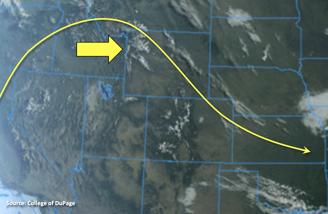
Outside of a few clouds over eastern Colorado it’s a clear morning across the state, which is showing off the snow-capped Rocky Mountains very well in the visible satellite imagery below. A ridge will begin to slide east throughout the day, which will help produce warm and dry conditions statewide. PW this morning at Denver and Grand Junction has fallen to 0.37 inches and 0.24 inches, respectively. This means afternoon and evening storms today are unlikely today with only some cloud cover forecast for this afternoon over the mountains and Northwest Slope. Flooding is not forecast and be sure to get out and enjoy this beautiful spring day.
Today’s Flood Threat Map
For more information on today’s flood threat, see the map below. If there is a threat, hover over the threat areas for more details, and click on burn areas to learn more about them. For Zone-Specific forecasts, scroll below the threat map.
Zone-Specific Forecasts:
Northeast Plains, Front Range, Urban Corridor, Southeast Mountains, Southeast Plains, Raton Ridge & Palmer Ridge:
Highs will reach into the upper 60F and 70Fs across the lower elevations this afternoon with the hottest temperatures over the Southeast Plains. Light surface winds are also expected with the jet being pushed east, so it’s going to be a beautiful day. Rainfall is not forecast.
Northern Mountains, Central Mountains, Grand Valley, San Juan Mountains, Northwest Slope, Southwest Slope & San Luis Valley:
It’s already dried out quite a bit with the ridge overhead, so rainfall chances really drop off this afternoon. Expect mostly clear skies with perhaps some cloud cover over the mountains and Northwest Slope this afternoon and evening. Highs will reach into the mid-70Fs with perhaps a couple regions reaching 80F across the lower elevations and 60Fs and lower 70Fs for the mountain valleys. Rainfall is not forecast.