Issue Date: Monday, July 20th, 2015
Issue Time: 9:00 AM MDT
Summary:
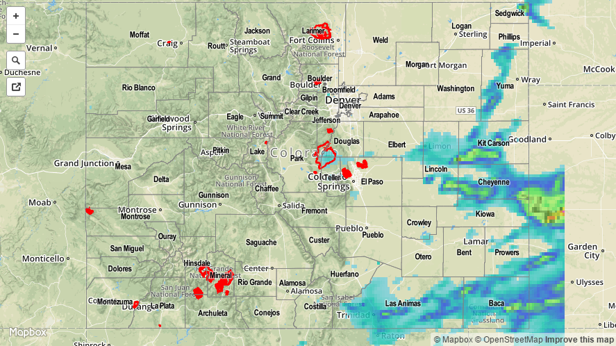
As the remnants of Hurricane Dolores spun off the southern California coast, moisture shed by the storm invaded Colorado and increased precipitable water values across the state. A thick, morning cloud deck across western and central portions of Colorado left those areas with less instability in the afternoon, but eastern Colorado was mostly clear and able to produce strong-to-severe thunderstorms in the afternoon and evening as daytime heating did its job. Heavy rainfall was attendant to most strong thunderstorms across Eastern Colorado, especially the nearer one got to the CO/KS border. Check out some of the more impressive rainfall reports:
Kit Carson County: 4.20 inches, 3.32 inches, and 1.92 inches
Cheyenne County: 2.76 inches and 2.01 inches
Baca County: 1.37 inches
Sedgwick County: 0.90 inches
There were a few reports of heavy rainfall causing flooding across Kit Carson County. Take a look:
Stratton: Minor street and field flooding
3 miles E of Stratton: 4-6 inches of water running across Road 34 near Intersection of Highway 24
1 miles ESE of Stratton: 1-2 inches of running water over railroad tracks. Also, standing water in fields.
11 miles S of Seibert: Standing water in fields