Issue Date: Friday, September 25th, 2020
Issue Time: 9:50AM MDT
Summary:
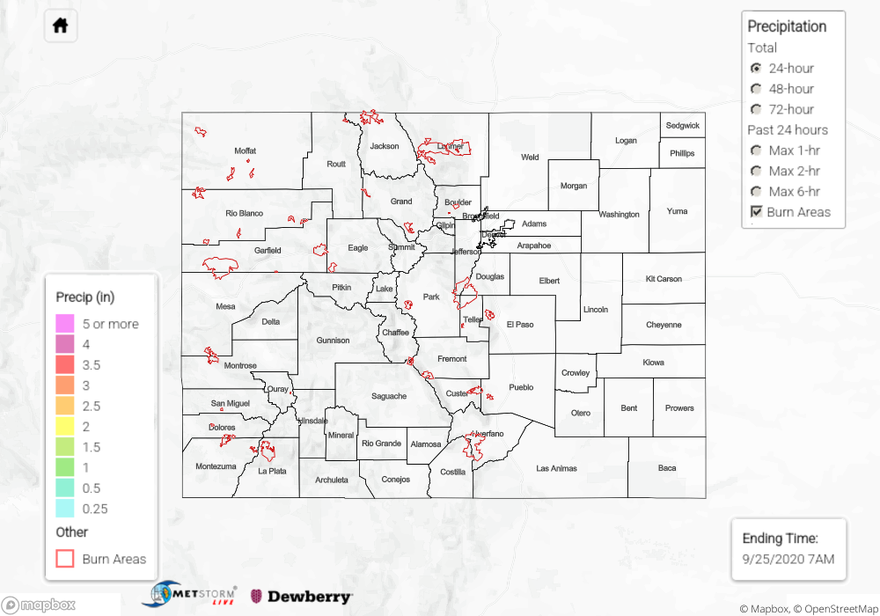
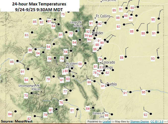
Not a drop of rain across the state yesterday, and outside of a narrow band of clouds, it was bluebird day. Under the influence of a ridge, high temperatures reached at least 90F over eastern Colorado (lower elevations) and up to 90F over the Grand Valley. Over the mountains, temperatures reached into the 70Fs and 80Fs. Southwesterly winds picked up over the Northwest Slope during the afternoon hours, and observations were generally between 13 and 23 mph with gusts just over 35 mph. Surface winds over the northern mountains were slightly less and reached between 9 and 15 mph. This did not affect the containment of any of the ongoing fires listed below. With a dry and windy couple of days ahead, we’ll be monitoring changes closely.
Continuing Colorado wildfire update (as of 9:40AM from InciWeb):
Cameron Peak in the Medicine Bow Mountains: 104,895 acres; 27% contained
Middle Fork Fire in Routt County: 6,760 acres; 0% containment
Williams Fork in the Arapaho National Forest: 12,320 acres; 25% contained
To see precipitation estimates over your neighborhood the last 72-hours, scroll down to the State Precipitation Map below.
Click Here For Map Overview