Issue Date: Thursday, September 24th, 2020
Issue Time: 9:30AM MDT
Summary:
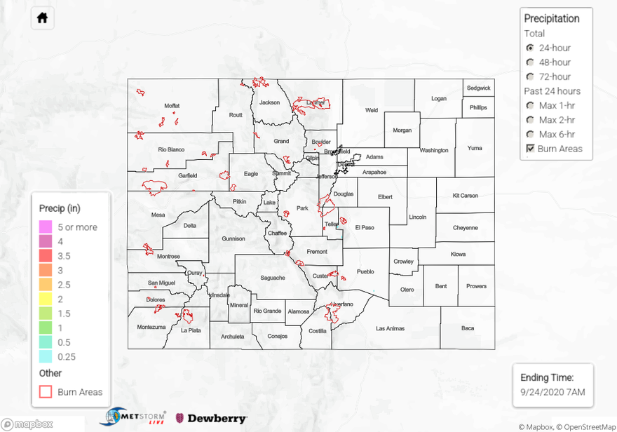
Generally, subsidence and the drying atmosphere behind the departing trough kept the state rain-free on Wednesday. However, the trough left a little bit of moisture for a couple storms to fire over the Southeast Mountains and Palmer Ridge during the afternoon. For the most part, storms only produce light rainfall and a minimal lightning, and all activity ended by the evening. QPE indicates isolated totals up to 0.25 inches, but mostly storms produced under 0.10 inches. The small storm cores made observations hard to come by, but a Weather Underground station in southern Teller County picked up 0.11 inches. As guessed, flooding was not reported.
Large ongoing Colorado wildfires update (as of 9:15AM from InciWeb):
Cameron Peak in the Medicine Bow Mountains: 104,791 acres; 27% contained
Middle Fork Fire in Routt County: 6,760 acres; 0% containment
Williams Fork in the Arapaho National Forest: 12,320 acres; 16% contained
To see precipitation estimates over your neighborhood the last 24 to 48-hours, scroll down to the State Precipitation Map below.
Click Here For Map Overview