Issue Date: Sunday, September 13th, 2020
Issue Time: 09:30AM MDT
Summary:
Yesterday was quite dry across the state, but a few clouds were able to pop over the mountains. These clouds do not appear to have caused any significant measurable precipitation as most rain gauge networks this morning show no accumulation. One USGS gage near Ridgway, CO is reporting 0.01” of accumulation over the last 24 hours. A second nearby USGS gage reported 0.21” of accumulation, but this is likely an artifact of snowmelt as temperatures climbed to near 70F near Ridgway yesterday. Hopefully you were able to enjoy the clear, smoke-free skies yesterday because that will likely change this week.
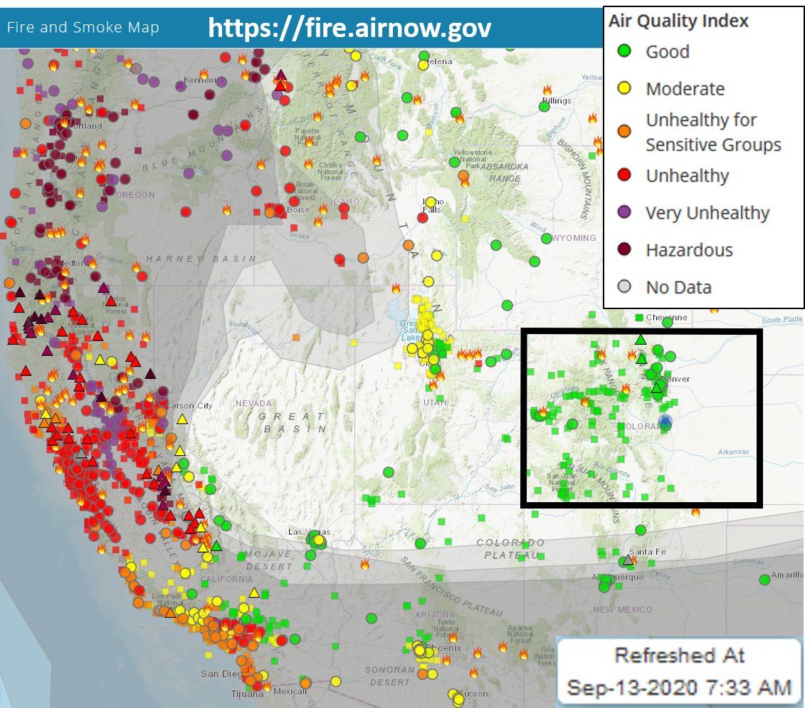
The image below shows the impact of the wildfires in the US West on air quality. Note that many locations along the west coast are in the Very Unhealthy and even Hazardous air quality index values. Smoke working its way eastward around the High pressure ridge has already dropped air quality in northern Utah to Moderate levels. Fortunately, Colorado is experiencing Good air quality currently after the Low pressure system that brought us rain and snow last week cleaned out the smoke. Unfortunately, this smoke will once again move its way eastward and effect the air quality in Colorado this week. The US West desperately needs precipitation to help quell the rampant wildfires, but little relief looks likely in the short-term forecast.
Ongoing Colorado wildfires update (as of 9:30AM from InciWeb):
Cameron Peak in the Medicine Bow Mountains: 102,596 acres; 4% contained
Williams Fork in the Arapaho National Forest: 12,157 acres; 10% contained
Grizzly Creek in Glenwood Canyon: 32,431 acres; 91% contained
Pine Gulch north of Grand Junction: 139,007 acres; 95% contained
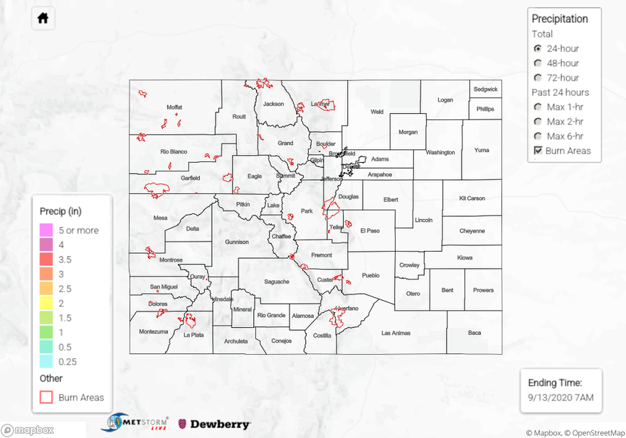
Check out our State Precipitation Map below to see how much precipitation fell in your neighborhood over the last 24, 48, or 72 hours.

