Issue Date: 7/19/2015
Issue Time: 9:00AM
Summary:
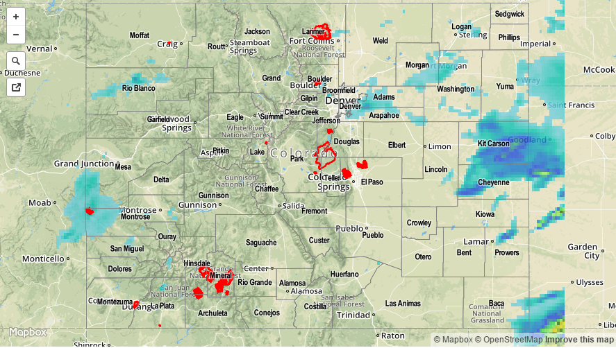
The interaction of an atmospheric disturbance from the north and subtropical moisture from ex-hurricane Dolores provided some strong thunderstorms. Most of the heavier rainfall was limited to the far Northeast Plains. However, even parts of the Urban Corridor managed to pick up over 1 inch as storms moved off the mountains into the higher moisture. One hour rain rates of just under 1 inch was observed at an Urban Drainage ALERT gage, just south of Denver International Airport. As storms headed eastward, they intensified with rain rates of 1.0 to 1.25 inches estimated by radar over Kit Carson County.
In addition to the rainfall, hail and gusty winds accompanied some of the storms. Three-quarter inch hail was reported in Prowers County. However, the largest hail and heaviest rainfall likely fell over less populated parts of the Northeast Plains. Interestingly, this complex of storms intensified even further as it traveled across Kansas. Check out this morning’s water vapor map on the Flood Threat Bulletin to see how far it traveled overnight.
For 24-hour rainfall amounts in your area, be sure to check out our radar estimated rainfall map below. No official flooding reports were received yesterday.