Issue Date: 7/18/2015
Issue Time: 9:24AM
Summary:
On Friday, a narrow slice of dry air hanging on over Colorado was being replaced with moisture from both the north and south yesterday. However, it managed to hold on, putting a lid on thunderstorm activity across the state. Quite a few storms did actually form, but were so high-based that they were only able to deliver a few, if any, drops of rain. In a strange twist of events, Alamosa, the state’s driest location with an annual average of less than 7 inches of rainfall, received the highest 24-hour total of about 0.1 inches. While lacking rainfall, many storms produced gusty winds, up to 55 mph.
In other weather related events, there were unfortunate news from Chaffee County, where a young woman was killed by a lightning strike. We want to reiterate here that lightning can occur even when it does not rain. Furthermore, lightning can occur on the periphery of a storm, making it wise to quickly seek lower ground or shelter when storms are visible.
With the lack of rainfall during the last two days, it did not take long for wildfire activity to pick up. A small fire is still ongoing in Garfield County. Although we cannot be sure, there is good reason to believe this fire was set by lightning in a “dry” thunderstorm. Many such storms were observed in the area on Friday.
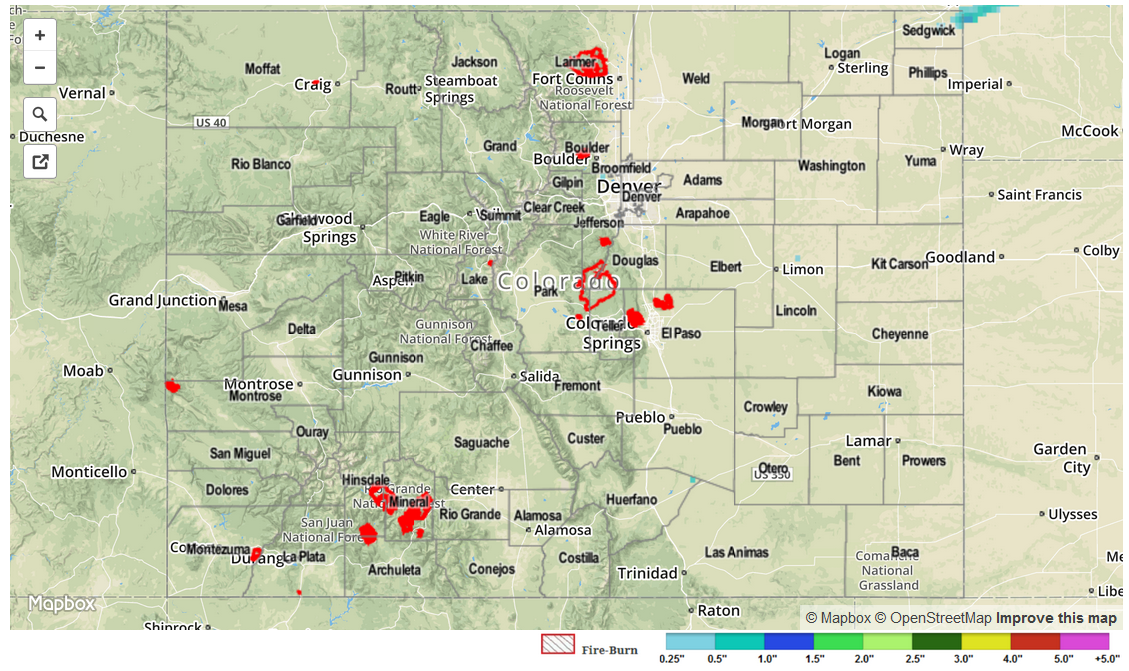
For 24-hour rainfall amounts in your area, be sure to check out our radar estimated rainfall map below. No official flooding reports were received yesterday.