Issue Date: Monday, August 24th, 2020
Issue Time: 9:08AM MDT
Summary:
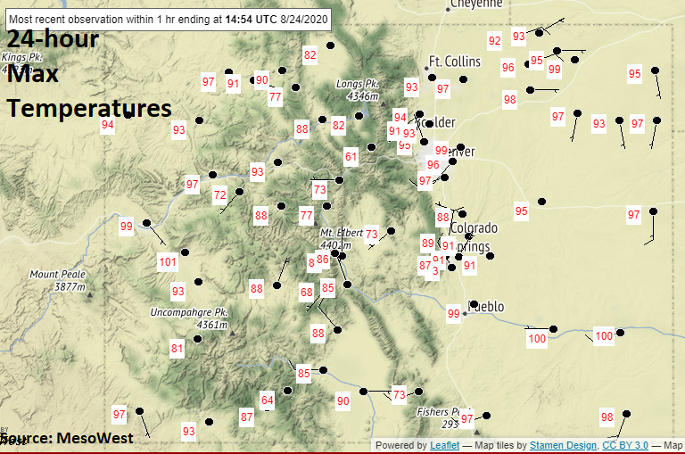
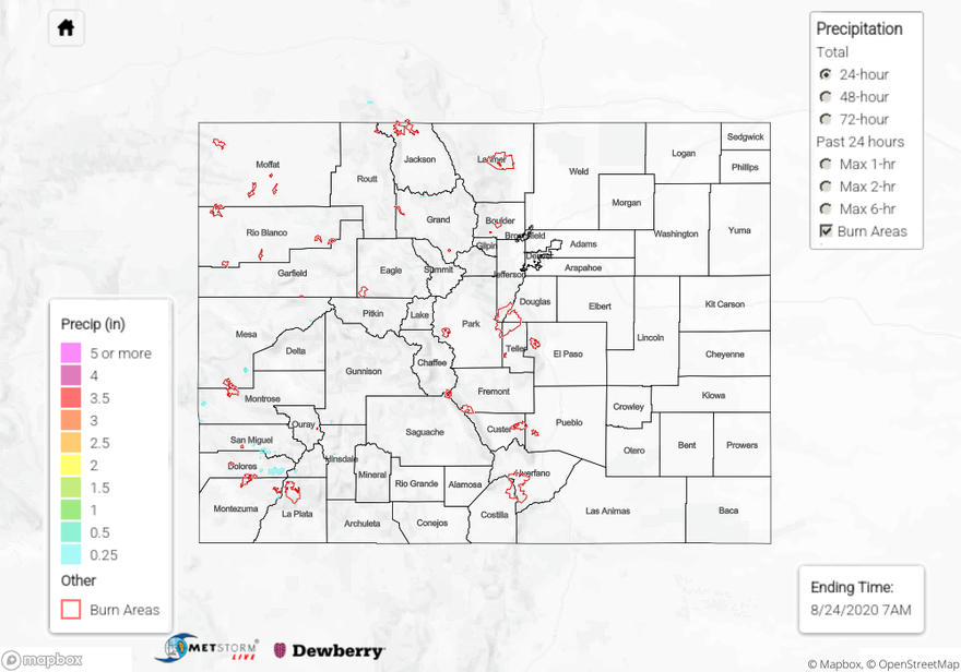
The heat wave continues with 24-hour maximum temperatures below from NWS ASOS stations. A few daily high records were set across the state with a couple monthly high temperatures records set as well over the Central Mountains. The increased smoke also made it feel much later in the day (darker) as the sun started to set in the Denver Metro. Overall, it was quiet on the rainfall front with just some high-based showers over the mountains. The highest observation was in eastern Dolores County where a CoCoRaHS picked up 0.26 inches of rainfall. Most other areas picked up between trace amounts and 0.10 inches. A new fire started in Park County (Thorpe Fire) near Tarryall. As of 8PM last night, 150 acres had burned.

Ongoing large fire update (as of 9AM on InciWeb):
Pine Gulch – north of Grand Junction: 133,783 acres; 44% contained
Grizzly Creek – Glenwood Canyon: 30,719 acres; 33% contained
Cameron Peak – Medicine Bow Mountains: 20,118 acres; 0% contained
Williams Fork – Arapho National Forecast: 11,048 acres; 3% contained
To see precipitation estimates over your area the last 24 to 48-hours, scroll down to the State Precipitation Map below.
Click Here For Map Overview
