Issue Date: Monday, August 24th, 2020
Issue Time: 8:50AM MDT
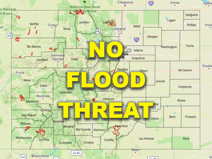
— Flooding is NOT expected today
With little shift in the overall setup and ongoing fires, still plenty of smoke and haze across the state to start the morning (marked in the 7:45AM surface analysis below). A bit more moisture is also present as the remnants of Genevieve continue to move northward with PW measured at 0.73 and 0.65 inches at Grand Junction and Denver, respectively. Looking at dew points (green numbers below), Tds are still quite low with the 50F contour shown by the dashed green line. That means that this moisture is mostly located in the mid and upper levels of the atmosphere. So, while this increase in moisture will cause more coverage of storms over the mountains this afternoon, the dry sub-layer will limit the amount of precipitation reaching the ground, especially over western Colorado. The evaporation that will occur in this lower layer will also produce cooling and further sinking of the air, which will likely help produce some gusty outflow winds with the storms that do form. Slower steering winds with 500mb High anchored over the southwest border may allow for some higher accumulations, when compared to yesterday, but flooding is not expected. Expect most storms to dissipate as they move eastward off the mountains with the best chance for survival over the ridges.
Over the Northeast Plains another convergence line will set up associated with a surface low. Without an upper level jet or well-defined shortwave moving into the area this afternoon, it isn’t likely that storms will overcome the cap. However, a weak, isolated thunderstorms or two may be possible.

Today’s Flood Threat Map
For more information on today’s flood threat, see the map below. If there is a threat, hover over the threat areas for more details, and click on burn areas to learn more about them. For Zone-Specific forecasts, scroll below the threat map.
Zone-Specific Forecasts:
Front Range, Southeast Mountains, Palmer Ridge, Raton Ridge, Urban Corridor, Southeast Plains, Northeast Plains:
Best chance of storms today will be along and near the Continental Divide as well as over the Southeast Mountains. Max 1-hour rain rates up to 0.35 inches will be possible. Isolated totals up to 0.6 inches will be possible over the Northeast Plains and eastern Palmer Ridge if storms are able to fire or make it this far east off the mountains. With most storms dissipating as they move off the mountains, expect only trace amounts of rainfall along the I-25 corridor, so flooding is not expected. High temperatures will be similar to yesterday as the heat wave continues.
Primetime: 1PM to 9:30PM
Central Mountains, Northern Mountains, San Juan Mountains, Grand Valley, Southwest Slope, Northwest Slope, & San Luis Valley:
Although coverage of storms will increase, as well as relative humidity values, dry lightning and gusty outflow winds are a concern this afternoon. Best chance for wetting rainfall will be over the San Juan and eastern Central Mountains where isolated totals up to 0.4 inches (south) and 0.25 inches (north) will be possible. Elsewhere, expect only cloud cover and some brief sprinkles, so flooding is not expected. Air quality will continue to stay low and hot temperatures will continue.
