Issue Date: Friday, August 7th, 2020
Issue Time: 9:05AM MDT
— Flooding is NOT expected today
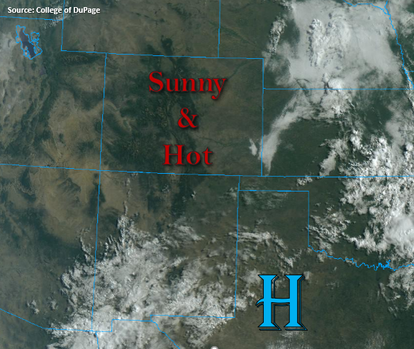
The visible satellite imagery below is showing clear skies start to the day. This indicates that the dry air has moved overhead with the more westerly flow, which is confirmed by PW values measuring 0.3 (Grand Junction) and 0.44 inches (Denver). Perhaps a little moisture will work across the southern border of the Southeast Plains for some high-based, weak showers, but the more likely scenario is just cloud cover this afternoon. With mostly clear skies across the state and a building ridge, high temperatures should increase a few degrees today. The passing trough to our north will continue to tighten the surface gradient over northwest Colorado, so the Red Flag Warning has been re-issued from 11AM to 8PM this evening.
Today’s Flood Threat Map
For more information on today’s flood threat, see the map below. If there is a threat, hover over the threat areas for more details, and click on burn areas to learn more about them. For Zone-Specific forecasts, scroll below the threat map.

Zone-Specific Forecasts:
San Juan Mountains, Central Mountains, Northern Mountains, Southwest Slope, Northwest Slope, & Grand Valley:
Fire danger returns to northwest Colorado due the passing trough to our north. Southwest surface winds are forecast in the 10 to 20 mph range with gusts up to 30 mph possible. Relative humidity values will likely drop into the single digits, and dry fuels will be problematic for the ongoing fires. A Red Flag Warning has been issued from 11AM to 8PM this evening, so use caution with any activity that could cause a spark. Hazy conditions are forecast again this afternoon due to the fire activity in the region. Highs will reach the upper 80Fs to mid-90Fs over the lower elevations with 70Fs for the mountain valleys.
Front Range, Southeast Mountains, Urban Corridor, Southeast Plains, Northeast Plains, Palmer Ridge, San Luis Valley, & Raton Ridge:
It’s going to be a beautiful summer day with highs climbing into the mid to upper 90Fs across the I-25 corridor. Mountain towns will likely see highs in the mid to upper 70Fs. There will likely be some more haze again from the fires in the regions. Temperatures could reach the 100F over portions of the Northeast and Southeast Plains with highs in the SLV reaching the upper 80Fs. Perhaps a few clouds will form over the mountains and Palmer/Raton Ridges with residual moisture, but they won’t do much more than provide some relief from the heat. Best chance for “rainfall” will be over the Raton Ridge, but only sprinkles are forecast.