Issue Date: Wednesday, July 1st, 2020
Issue Time: 9:45AM MDT
Summary:
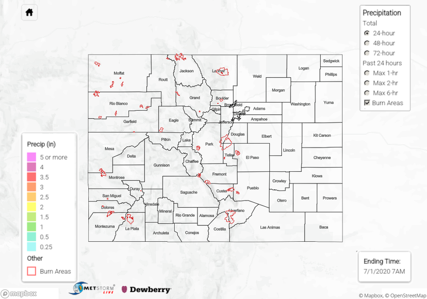
Light rainfall developed along the jet in a north/south oriented band on Monday night, so the Front Range started the morning with some brief showers. Storms generally produced between 0.10 (Boulder) and 0.32 inches (Fort Collins) along with some graupel due to the colder temperatures behind the front. This may have inflated some of the totals in the gages, but these amounts seem reasonable and replicated at more than one site. Light snow was also reported earlier in the morning/Monday night at the highest elevations along this same band. The eastward moving band of showers lifted north with the jet by midday. Additional scattered afternoon storms developed over the Palmer Ridge and expanded in coverage as the moved in the Northeast Plains where a little better moisture remained. Totals just under 0.50 inches were reported in the storm cores. A brief storm also popped up over Morgan County, but observations in the area indicate very little rainfall reached the ground. Overnight lows got chilly with Alamosa dropping to 30F – that is a new daily record low and ties the all time monthly (July) record. Lows were only forecast to drop to 38F.
For precipitation estimates in your neighborhood over the last 24 to 72-hours, scroll down to the State Precipitation Map below.
Click Here For Map Overview