Issue Date: Tuesday, June 30th, 2020
Issue Time: 9:50AM MDT
Summary:
High fire danger across the state on Monday as a vigorous Low deepened over Idaho. This brought dry southwesterly flow to the state as the jet moved in from the east. Outside of some weak showers over the northwest corner of the state, it was hot, dry day. Those storms produced little rainfall, so there isn’t a trace of them on the map below. The Rifle Gap Reservoir gage recorded 0.05 inches during the afternoon. A bit of more measurable rain occurred along the jet behind the cold front. That was the feature found over the mountains this morning in today’s FTB. Showers formed in a north to south line along the jet starting over western Colorado around 2AM. As it progressed eastward, CoCoRaHS recorded between 0.20 and 0.33 inches over the Northwest Slope and Central/Northern Mountains, which are some pretty decent accumulations for the feature. AHPS indicates between 0.10 and 0.25 inches of rain accumulated at the surface. Overnight temperatures were also a lot cooler. Lower elevations behind the front fell into the 40Fs with temperatures near or at freezing in the reporting NWS/RAWS stations over the mountains. There were also no new mountain fires to report as of this morning, which is always a good thing on a Red Flag Warning day.
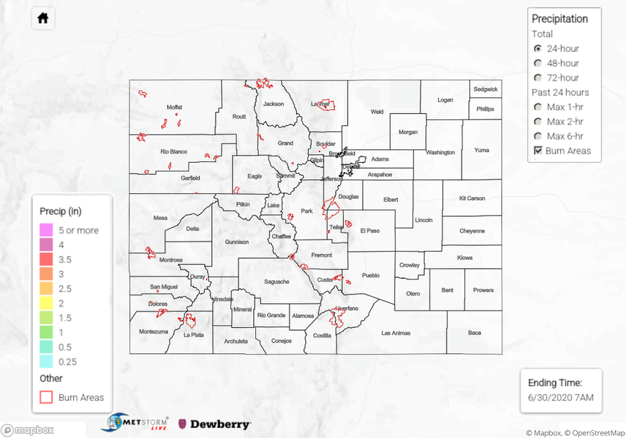
For precipitation estimates in your neighborhood over the last 24 to 72-hours, scroll down to the State Precipitation Map below.
Click Here For Map Overview