Issue Date: Tuesday, June 23rd, 2020
Issue Time: 9:35AM MDT
Summary:
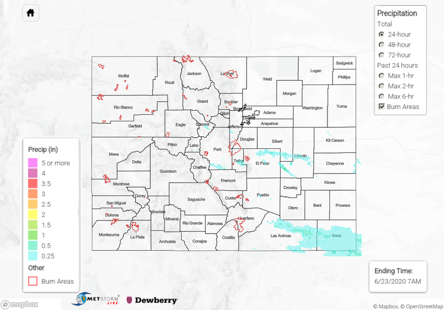
A passing shortwave and moisture under the ridge helped spark some afternoon storms over eastern Colorado. Storms over the mountains favored the Central Mountains and southern Front Range, and a weak thunderstorm near Vail produced 0.25 inch hail. Storms were more abundant in eastern Colorado across the Palmer Ridge and south. As storms moved into the Southeast Plains, they got a little stronger with better dynamics in place (shortwave, CAPE, jet stream). Although a Severe Thunderstorm Warning was issued for a stronger storm that developed over the Raton Ridge, there were no reports of hail. This is likely due to the remoteness of the area. Radar estimates just over 0.50 inches of rain fell, but a CoCoRaHS station near Pritchett (Springfield area) recorded 1.10 inches. Additionally, 0.70 inches were recorded at a USGS gage near Thatcher, CO. A couple rounds of showers over the Palmer Ridge allowed 24-hour totals to reach around 0.50 inches. Flooding was not reported yesterday.
For precipitation estimates in your neighborhood over the last 24 to 72-hours, scroll down to the State Precipitation Map below.
Click Here For Map Overview