Issue Date: 6/20/2020
Issue Time: 8:00 AM
— Flooding is NOT expected today
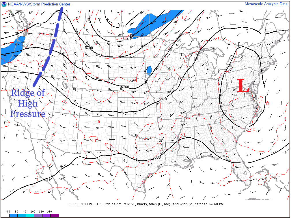
Warmer and drier is the name of the weather game today, as upper-level high pressure builds in across the western United States. High temperatures will be near normal for the first day of Summer, with skies remaining mostly sunny throughout the day. There exists a *small* chance (less than 10%) for an isolated thunderstorm or two near the eastern CO border during the afternoon hours, but even in the event one forms, it will quickly leave the state, providing almost no impact to Colorado. As the afternoon turns toward the evening hours, a pocket of upper-level moisture will move into the state from the northwest, increasing cloud cover for the overnight hours, especially over the High Country.
Today’s Flood Threat Map
For more information on today’s flood threat, see the map below. Hover over the threat areas for more details and click on burn areas to learn more about them. For Zone-Specific forecasts, scroll below the threat map.

Zone-Specific Forecasts
Urban Corridor, Palmer Ridge, Northeast Plains, Southeast Plains, and Raton Ridge:
Sunshine and warmer temperatures will mark the first day of summer, with highs in the 80s for most and into the 90s for portions of the Southeast Plains. There is a less than 10% chance for an isolated thunderstorm or two near the eastern CO border this afternoon, but little-to-no impacts are expected from any activity.
Front Range, Southeast Mountains, Northwest Slope, Northern Mountains, Central Mountains, Grand Valley, Southwest Slope, San Juan Mountains, and San Luis Valley:
Mostly sunny and warmer conditions will usher in the Summer season, with high temperatures ranging from the 80s and near-90 degrees for lower valleys to the 50s and 60s for higher elevations. Increased cloud cover will build in from the northwest during the late afternoon/evening, sticking around for much of the overnight hours.