Issue Date: Thursday, June 18th, 2020
Issue Time: 10:40AM MDT
Summary:
It was another dry and windy day with critical fire weather across the majority of the state. The haze really filled in yesterday as well with the ongoing inversion trapping and accumulating the smoke from the wildfires. The East Canyon fire expanded some more – the latest on the fire can be found on Twitter under the handle @EastCanyonFire. It was too dry for any rainfall, although some sprinkles may have occurred over the western Palmer Ridge. Highs along the I-25 corridor tied daily records with many places within a few degrees of the record daily high. It got breezy as the cold front moved through, but that also helped get rid of a lot of the smoke. A 62 mph gust was measured in Cheyenne County at 6:25PM when the front surged south. The cooler temperatures felt great overnight into this morning and will help reduce fire danger today.
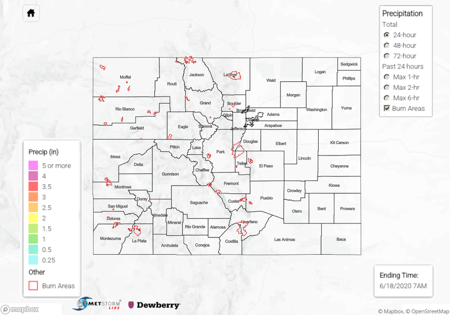
For precipitation estimates in your neighborhood over the last 24 to 72-hours, scroll down to the State Precipitation Map below.
Click Here For Map Overview