Issue Date: Monday, June 8th, 2020
Issue Time: 10:35AM MDT
Summary:
High winds continued on Sunday, although nothing like the historical derecho event on Saturday. For the most part, it was quiet behind the trough on the rainfall front as moisture mixed out. There were some morning and afternoon showers over the Northwest Slope as it remained in an area where mid-level was still occurring with a little moisture. These storms were high-based and generated only about 0.05-0.10 inches of rainfall. High wind gusts were recorded across western Colorado in the 45-55 mph range with the strong jet overhead. Even stronger winds were produced over the eastern border during the afternoon and evening hours where ASOS stations recorded between 45 and 65 mph gusts. This caused visibility to drop to nearly zero in eastern Yuma County. This was again due to the trough overhead and lee surface trough helping to tighten the surface gradient.
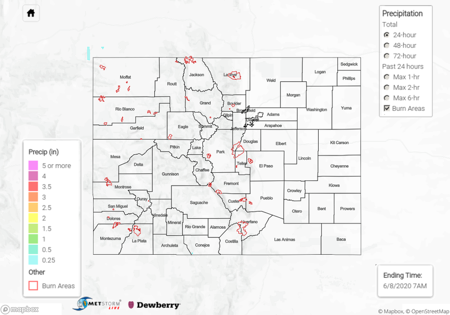
For precipitation estimates in your area over the last 24 to 72-hours, scroll down to the State Precipitation Map below.
Click Here For Map Overview