Issue Date: Friday, May 29th, 2020
Issue Time: 10:20AM
Summary:
Temperatures climbed to well-above seasonal normal west of the Continental Divide on Thursday, under a stout upper-level ridge over our state. Lower elevation locations like Grand Junction topped out over 90F, which is at about 10F above normal for late May. Even the highest elevations, like Copper Mountain, approached 60F. There was also enough moisture for scattered shower and storm activity, mostly relegated to the higher elevations. Gusty winds were also observed across western areas with gusts of 59mph and 57mph reported at ASOS stations in La Plata and Montezuma counties, respectively. Cooler conditions prevailed east of the Continental Divide with some isolated storms crossing the landscape. Although there were some brief heavy downpours across the state, total rainfall was limited to about 0.5 inches.
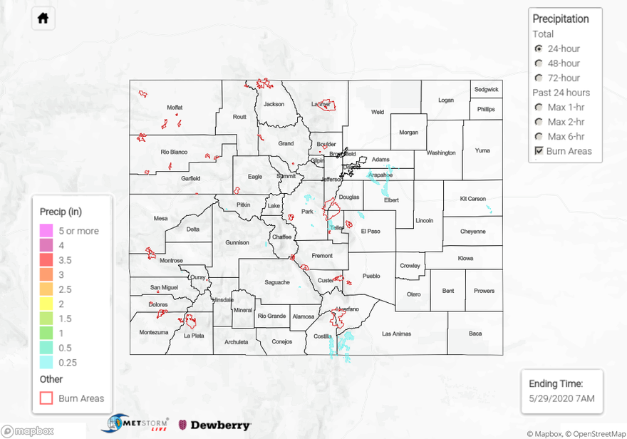
For precipitation estimates in your neighborhood over the last 72-hours, scroll down to the State Precipitation Map below.
Click Here For Map Overview