Issue Date: Friday, May 22nd, 2020
Issue Time: 9:05AM MDT
Summary:
No real measurable rainfall yesterday afternoon except over the Southeast Plains where storms fired along a moisture boundary. The highest rainfall was just to our east in Kansas, but there were still some decent totals over Prowers County. Storms yesterday afternoon also produced some very large hail (2.75 inches diameter) and a couple brief landspouts. Activity started around 4PM with some overnight storms further west in Pueblo County. Radar rainfall estimates vary from 1 to 2 inches in Prowers with a gage in Holly picking up 0.38 inches and a CoCoRaHS report of 1 inch in Granada. Best guess is somewhere around 1.5 inches under the core of the storm. Totals over Pueblo County were estimated just over 0.50 inches. As of this morning, flooding was not reported.
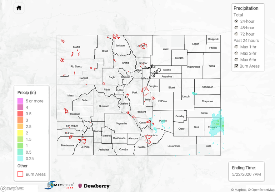
For precipitation estimates in your neighborhood over the last 24- to 72-hours, scroll down to the State Precipitation Map below.
Click Here For Map Overview