Issue Date: Thursday, May 21st, 2020
Issue Time: 11AM MDT
Summary:
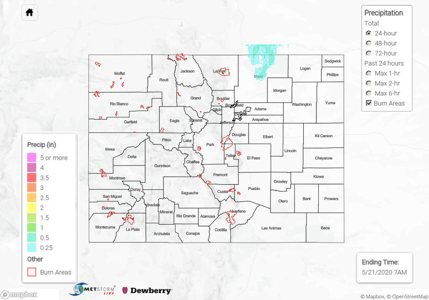
Very hot weather persisted across most of the state on Wednesday with high temperatures running up to 20F above normal in parts of the state. In addition, extremely gust winds were observed statewide with peak gusts exceeding 55 mph. As expected, a line of thunderstorms developed across the Northeast Plains during the late afternoon, persisting into the evening hours. Moderate to isolated heavy rainfall was observed with these storms along with gusty winds, hail up to 1.5 inches and a few reports of a landspout type tornado in Weld County. The highest observed rainfall was 0.33 inches in Briggsdale (CoCoRaHS) but it is likely that isolated amounts exceeding 1 inch occurred in areas where storms persisted for a few hours.
As of this writing, flooding was not reported on Wednesday.
For precipitation estimates in your area over the last 24-hours, scroll down to the State Precipitation Map below.
Click Here For Map Overview