Issue Date: Monday, May 18th, 2020
Issue Time: 9:10AM MDT
Summary:
Warm temperatures and pleasant weather yesterday as the ridge started to build over the state. Increasing southwest flow continued to mix out the remaining moisture over Colorado, especially west of the divide. There was still some available moisture for weak rainfall over the southern Front Range and Southeast Mountains during the evening hours. The heaviest rainfall was over the Raton Ridge where radar estimates just over a half inch of rain fell. These storms formed around 3:30PM and produced 1-inch diameter hail. Flooding was not reported.
For precipitation estimates in your neighborhood over the last 24- to 72-hours, scroll down to the State Precipitation Map below.
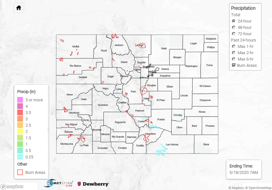
Click Here For Map Overview
The map below shows radar-estimated, rainfall gage-adjusted Quantitative Precipitation Estimates (QPE) across Colorado. The map is updated daily during the operational season (May 1 – Sep 30) by 11AM. The following six layers are currently available: 24-hour, 48-hour and 72-hour total precipitation, as well as maximum 1-hour, 2-hour and 6-hour precipitation over the past 24 hour period (to estimate where flash flooding may have occurred). The 24-hour, 48-hour and 72-hour total precipitation contain bias corrections that are not disaggregated into the hourly estimates, so there will likely be some differences. The accumulation ending time is 7AM of the date shown in the bottom right corner. Also shown optionally are vulnerable fire burn areas (post 2012), which are updated throughout the season to include new, vulnerable burn areas. The home button in the top left corner resets the map to the original zoom.