Issue Date: Tuesday, May 12th, 2020
Issue Time: 8:40AM MDT
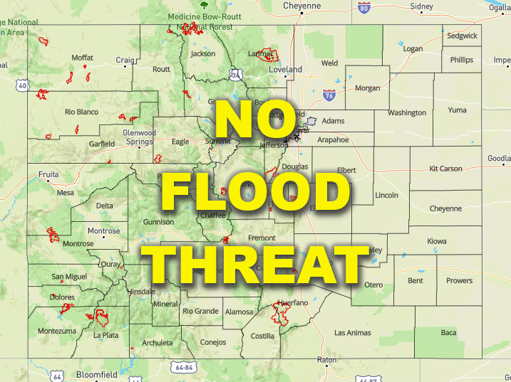
— Flooding is NOT expected today
The water vapor imagery below shows a dry air mass over the Desert Southwest that will start to move into the state from the west today. PW at Grand Junction has already dropped to 0.45 inches, which is about a quarter inch below yesterday morning. As this dry flow moves west across the state, it will help to mix out the cloud cover and fog over eastern Colorado by midday. It may be slow to reach the far eastern plains, so expecting cooler temperatures east when compared to the Urban Corridor.
Today is expected to be a quiet weather day when compared to yesterday with the main center of lift (orange “X”) staying north and west. Embedded in the westerly flow are some weak shortwaves, so late afternoon cloud cover is forecast for the state. However, it will be too dry for clouds to produce more than shade and a sprinkle or two. The one exception is over the Palmer Ridge where there may be some residual moisture. Surface convergence may allow for a couple, very weak storms to form this afternoon, but storms are expected to be high-based and produce more gusts than rainfall. Flooding is not forecast.

Today’s Flood Threat Map
For more information on today’s flood threat, see the map below. If there is a threat, hover over the threat areas for more details, and click on burn areas to learn more about them. For Zone-Specific forecasts, scroll below the threat map.

Zone-Specific Forecasts:
Urban Corridor, Front Range, Northeast Plains, Palmer Ridge, Southeast Plains, Southeast Mountains, & Raton Ridge:
Lots of fog and cloud cover to start the morning with light rainfall being reported at Colorado Springs (8AM). This should burn off (west) by noon and temperatures are expected to reach the 70Fs with higher temperatures south. It will be a bit cooler out east with highs in the low 60Fs, which will nix chances for afternoon storms. A couple, weak storms may pop up over the Palmer Ridge with max 1-hour rain rates up to 0.15 inches possible. The more likely scenario is gusty outflow winds and a little lightning.
Primetime: 1PM to 8:30PM
Grand Valley, San Luis Valley, & Southwest Slope:
A Red Flag Warning has been issued from noon today through 9PM tonight. Southwest wind gusts are forecast to exceed the 25 mph mark and the dry air entrainment will produced relative humidity values around and just under 15%. This makes conditions favorable for fire spread and growth, so use caution with open flames and avoid burning. Tune into you local NWS office for more information. Highs this afternoon are forecast to be in the 80Fs for the valleys and around 70F elsewhere.
Northwest Slope, Northern Mountains, Central Mountains, & San Juan Mountains:
Increasing cloud cover is forecast this afternoon, but rainfall is not forecast. Temperatures be more seasonable when compared to yesterday. Surface winds will pick up from the southwest this afternoon, so elevated fire conditions are forecast for the Northwest Slope. Brief gusty winds can be expected over the high country. Overall it’s shaping up to be a gorgeous spring day.