Issue Date: Monday, May 11th, 2020
Issue Time: 10AM MDT
Summary:
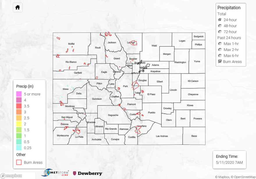
A shortwave trough helped push the ridge slightly east to help pull moisture up from the south over western Colorado. This triggered some high based storms and showers yesterday afternoon that continued overnight. The low levels were still quite dry, which limited the accumulations. Overall, less than 0.1 inches fell across the Grand Valley, Central/San Juan Mountains and Southwest Slope. There were a couple spots in eastern Montrose, Mesa and Pitkin county that received 0.25 inches according to CoCoRaHS in the area. Several CoCoRaHS reported at least some rainfall in the region. Looking for that moisture to increase this afternoon for more wetting rainfall. Flooding was not reported on Sunday.
For precipitation estimates in your neighborhood over the last 24-hours, scroll down to the State Precipitation Map below.
Click Here For Map Overview