Issue Date: Sunday, May 10th, 2020
Issue Time: 9:00 AM MDT
Summary:
Plenty of sunshine to be enjoyed across Colorado yesterday, especially west of the Continental Divide where dry air and blue skies ruled the day. East of the Divide, skies began mostly sunny with clouds increasing through the afternoon downstream of the Front Range and Southeast Mountains. That cloud deck continued to hang on into the morning hours today across portions of the Northeast Plains, which helped to keep temperatures a bit warmer than expected overnight, reducing the risk of frost for locations near the CO/NE border.
Flooding was not reported on Saturday. For rainfall estimates in your area, check out our State Precipitation Map below.
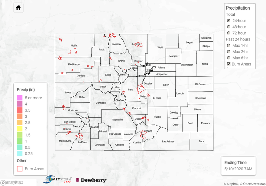
Click Here For Map Overview
The map below shows radar-estimated, rainfall gage-adjusted Quantitative Precipitation Estimates (QPE) across Colorado. The map is updated daily during the operational season (May 1 – Sep 30) by 11AM. The following six layers are currently available: 24-hour, 48-hour and 72-hour total precipitation, as well as maximum 1-hour, 2-hour and 6-hour precipitation over the past 24 hour period (to estimate where flash flooding may have occurred). The 24-hour, 48-hour and 72-hour total precipitation contain bias corrections that are not disaggregated into the hourly estimates, so there will likely be some differences. The accumulation ending time is 7AM of the date shown in the bottom right corner. Also shown optionally are vulnerable fire burn areas (post 2012), which are updated throughout the season to include new, vulnerable burn areas. The home button in the top left corner resets the map to the original zoom.