Issue Date: Friday, May 8th, 2020
Issue Time: 8:50AM MDT
Summary:
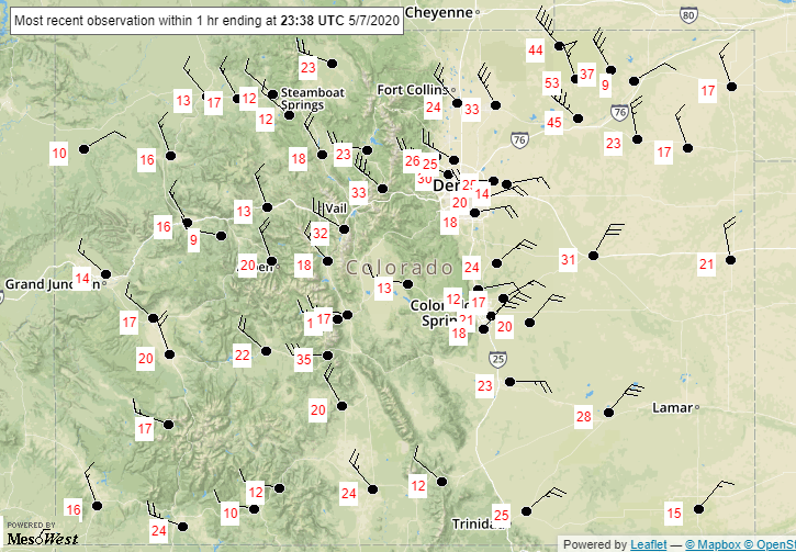
It was a windy afternoon yesterday as the latest low pressure system moved through the area. There were some impressive gusts between yesterday afternoon and evening when the cold front came through. Below are the sustained wind speeds at about 5:30PM when the front was pushing through the Northeast Plains. Grover hit about a 70 mph gust around this time. The fastest reported gust on Thursday was in Boulder at 5:45PM when the NCAR lab ASOS recorded 76 mph. Over western Colorado, peak wind occurred a bit earlier in the afternoon (~2:30PM MDT) with gusts recorded between 35 and 40 mph. The Gunnison AWOS station had the highest report at 43 mph. The increased wind speeds, warm temperatures and low relative humidity meant increased fire danger with a large portion of the state under a Red Flag Warning. As of this morning, thankfully, no new fires have been reported. It was also too dry for any rainfall.

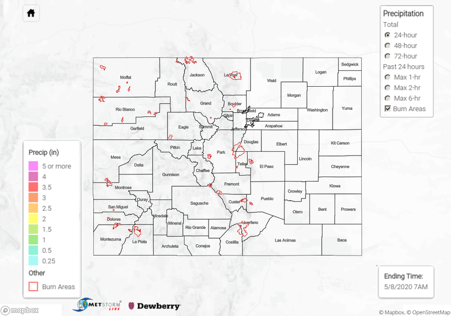
For precipitation estimates in your area over the last 72-hours, scroll down to the State Precipitation Map below.
Click Here For Map Overview
