Issue Date: Friday, May 8th, 2020
Issue Time: 8:25AM MDT
— Flooding is NOT expected today
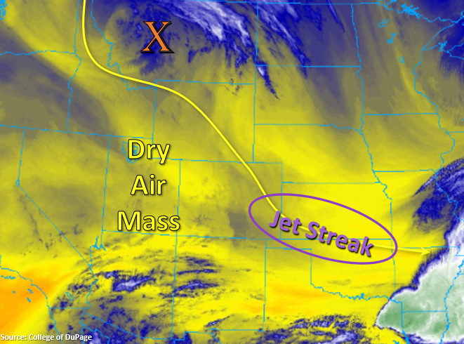
A cold front blew through last night into early this morning, and not quietly as I’m sure you heard the winds gusts. This has helped produce morning cloud cover over eastern Colorado and the Front Range. Moisture is limited to the bottom ~1km of the atmosphere, so expecting this to start burning off throughout the morning as dry air mixes it out. The clouds and the cold air behind the front will help keep afternoon temperatures down with highs slightly below normal. Subsidence over the state and a dry air mass will nix the chances for afternoon showers and thunderstorms. The clear skies will likely cause some low overnight temperatures, as the cloud cover last night helped act as a blanket for surface temperatures. Broken cloud cover is still forecast to increase over the northwest quadrant of the state and over the mountains this evening as the next system (orange “X”) starts to slip south into Wyoming.
Cooler temperatures and an exiting jet stream will keep surface winds light, thus reducing critical fire weather conditions this afternoon. A Red Flag Warning has been issued from 2PM this afternoon to 8PM this evening for the eastern San Juan Mountains and San Luis Valley. Tune into NWS Pueblo for more information.
Today’s Flood Threat Map
For more information on today’s flood threat, see the map below. If there is a threat, hover over the threat areas for more details, and click on burn areas to learn more about them. For Zone-Specific forecasts, scroll below the threat map.
Zone-Specific Forecasts:
San Luis Valley & San Juan Mountains:
The one area of fire weather concern is over the San Juan Mountains (especially eastern) and San Luis Valley. As mentioned in yesterday’s FTO, this area is experiencing increasing drought conditions, which means plenty of dry fuels for burning. Combined with 15 to 20 mph surface winds this afternoon (lee trough) and a dry air mass, relative humidity values are forecast to drop into the single digits. Please use extreme caution with any open flames. High temperatures are forecast to be in the low 70Fs over the Valley and 50Fs over the mountain valleys.
Front Range, Northern Mountains, Central Mountains, Southeast Mountains, Urban Corridor, Northeast Plains, Palmer Ridge, Southeast Plains, & Raton Ridge:
Highs will be quite pleasant this afternoon will be in the 60Fs for the eastern plains with 50Fs over the lower elevations in the mountains. Cloud cover will decrease throughout the morning and then may slightly increase late this afternoon as the next system approaches form the north. Rainfall is not forecast; therefore, flooding is not expected.
Northwest Slope, Grand Valley, & Southwest Slope:
Bit warmer over western Colorado, with not much change in the afternoon highs. Clear conditions to start the day due to a very dry air mass in place. The dew point in this morning’s sounding at Grand Junction was 15F (very low). High, broken cloud cover may be possible over the Northwest Slope this evening. Rainfall is not forecast.