Issue Date: Tuesday, May 5th, 2020
Issue Time: 8:55AM MDT
Summary:
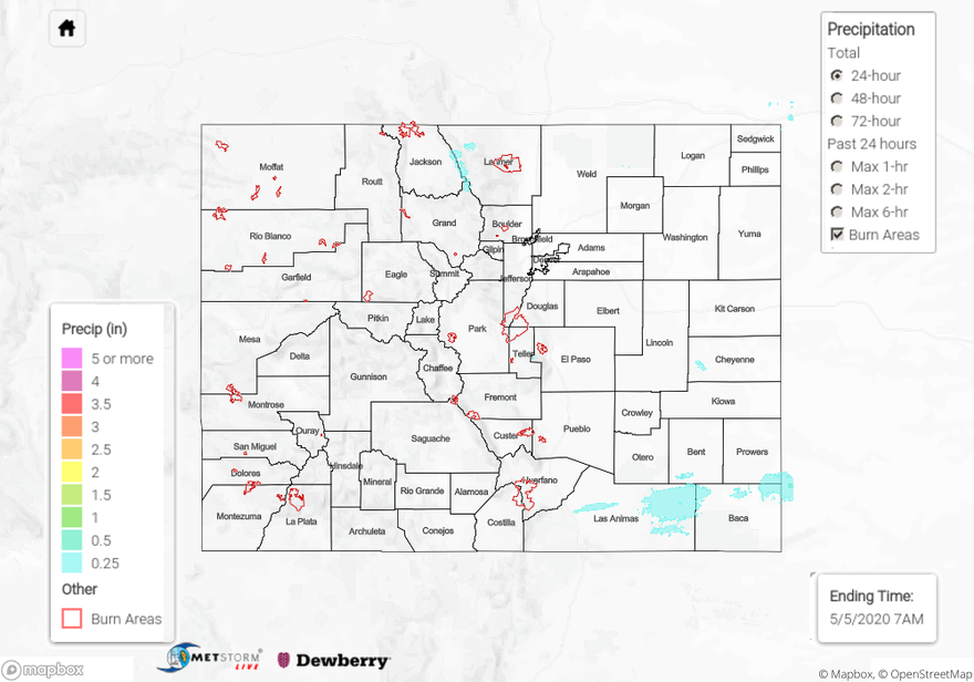
Monday started with some showers over the Northeast Plains and Northern Mountains with an exiting shortwave, but skies began to clear throughout the day. As far as rainfall, it was very limited with the rather dry atmosphere. A surface boundary helped produce some light showers and a couple storms over the Palmer Ridge during the late afternoon hours. As this boundary pushed south, it helped provide lift for more showers along the southern border overnight. Overall, the totals were estimated around 0.25 inches. Flooding was not reported.
The main story from yesterday was breezy conditions. Gusts reached to about 35 mph over the eastern plains and higher mountain elevations. Slightly lower wind speeds were present near the Wyman fire. The fire grew to 455 acres, so hopefully the break in winds today will help control the burn. Overnight temperatures dropped to 29F at Crow Creek (NE of Greeley), and frost was present along the Urban Corridor this morning. Over the mountains, temperatures dropped into the 20Fs with Alamosa near freezing.
For precipitation estimates in your area yesterday, scroll down to the State Precipitation Map below.
Click Here For Map Overview