Issue Date: Sunday, May 2nd, 2020
Issue Time: 9:20 AM MDT
Summary:
An increase in moisture worked with a passing disturbance to produce scattered showers/thunderstorms across the northern half of Colorado yesterday. Showers and thunderstorms got started around lunchtime, beginning as garden-variety activity, with a few stronger storms mixing in during the late afternoon and evening hours. These stronger storms produced two severe reports: 1-inch hail in Rio Blanco County, and 65 mph wind gust in Arapahoe County.
Showers and thunderstorms came to an end around sunset over the mountains, with a few light flurries continuing over the highest elevations of the Northern Mountains into the early morning hours. East of the mountains, thunderstorms rumbled into the nighttime, with activity ending over the Urban Corridor between 10 and 11 PM, and exiting the state to the east just after midnight.
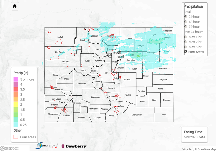
Flooding was not reported on Saturday. For rainfall estimates in your area, check out our State Precipitation Map below.
Click Here For Map Overview