Issue Date: Tuesday, September 24th, 2019
Issue Time: 10:10AM MDT
Summary:
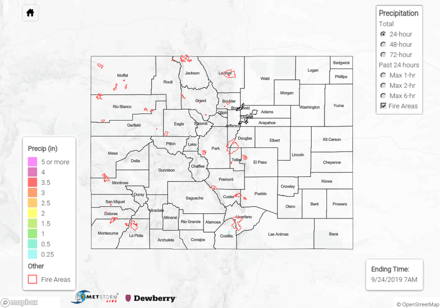
Late afternoon/early evening showers for the southern border as a shortwave moved through the southwest flow aloft. A slight increase in PW values allowed rainfall to reach the surface. It was too dry at the low levels to have any accumulation further north. Durango recorded 0.23 inches at the NWS ASOS site (KDRO) with Animas River (near Cedar Hill, NM) recording 0.28 inches at a USGS gage. Storms spread eastward throughout the evening, so the San Luis Valley also got some measurable rain. Radar indicates as much as 0.25 inches over the northeast corner of the valley with widespread totals between 0.05 and 0.15 inches. Light rain also fell over the Southeast Mountains and adjacent Southeast Plains, but totals were under 0.10 inches.
Flooding was not reported yesterday. To see estimated precipitation totals over your area the last 72-hours, scroll down to the State Precipitation Map below.
Click Here For Map Overview