Issue Date: Wednesday, September 18th, 2019
Issue Time: 8:45AM MDT
— Flooding is NOT expected today
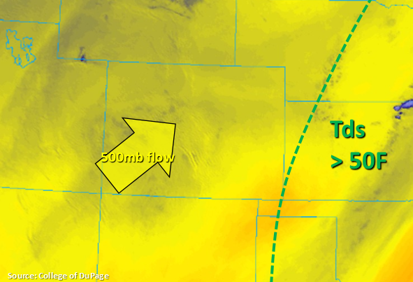
Much drier air has moved over the state, which is shown by all the yellow in the water vapor imagery below. Not surprisingly, PW has dropped to 0.55 to 0.60 inches at Grand Junction and Denver, respectively. Southwest flow aloft, which will turn more westerly this evening, will keep the drier air mass in place. Thus, not much afternoon shower and thunderstorm activity is expected with the minimal residual moisture in the atmosphere. The morning cloud cover over the western high terrains hints there is some pockets of moisture still over the mountains. So the best chance for an isolated weak shower or thunderstorm will be over the mountains favoring the Front Range as this plume is advected to the northeast. Flooding is not forecast.
Today’s Flood Threat Map
For more information on today’s flood threat, see the map below. For Zone-Specific forecasts, scroll below the map.
Zone-Specific Forecasts:
Central Mountains, Northern Mountains, San Juan Mountains, Front Range, Southeast Mountains, Urban Corridor:
Best chance for rainfall today will be over the high terrains where pockets of residual moisture remain intact. While most storms will stop at producing just cloud cover and virga, a couple storms may produce light accumulations. Best chance for rainfall will be over the Front Range where totals up to 0.2 inches will be possible with the stronger storms. Most other storms will produce under 0.1 inches across the mountains. Activity may spill into the Urban Corridor this afternoon with the flow aloft (to the NE), but storms are expected to quickly dissipate. Max 1-hour rain rates up to 0.1 inches will be possible along with brief outflow gusts.
Primetime: 2PM to 8PM
Northwest Slope, Grand Valley, Southwest Slope, San Luis Valley, Raton Ridge, Palmer Ridge, Southeast Plains, Northeast Plains:
Slightly cooler temperatures are anticipated today behind a weak cold front that moved through overnight. The cold front is currently over the Southeast Plains and has stalled out back to the west. With low dew points across these regions, rainfall is not anticipated this afternoon. Surface winds over western Colorado may pick up to 10-15 mph (from the southwest) as the next trough begins to approach this afternoon. Critical fire weather is not forecast, but some pockets of elevated fire weather are anticipated.