Issue Date: Wednesday, September 11th, 2019
Issue Time: 10AM MDT
Summary:
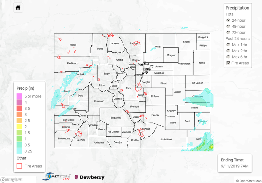
A shortwave out in front of the main trough worked its way over the state yesterday and help produce some widespread showers and weak thunderstorms over western Colorado. Storm movement to the northwest was fairly quick and with a bit drier air in place (limited moisture with the plume), totals were on the low to moderate end with some gusty outflow winds. Wind gusts between 45 and 55 mph were recorded over the northwest quadrant of the state during the afternoon. A stronger thunderstorm near Grand Junction had up to half inch hail and produced 0.65 inches of rainfall. With 43 mph winds also recorded at the airport, a Severe Thunderstorm Warning was issued. Gages from various networks over the western high terrains had between 0.15 and 0.45 inches.
A storm also formed over the Front Range and moved into the Urban Corridor near Greeley. Totals up to 0.55 inches were observed (CoCoRaHS) with MetStorm estimating around the same. Large hail (1.75 inches; golf ball) was also reported with this thunderstorm at 6:30PM MDT. Lastly, weak thunderstorms moved in from New Mexico over the Southeast Plains (southeast corner) along a dryline. A couple rounds of storms ensued from mid-afternoon until about midnight. MetStorm estimates up to 1.25 inches fell in the cores of these storms.
Flooding was not reported yesterday, and to see estimated precipitation totals over your area of town yesterday, scroll down to the State Precipitation Map below.
Click Here For Map Overview